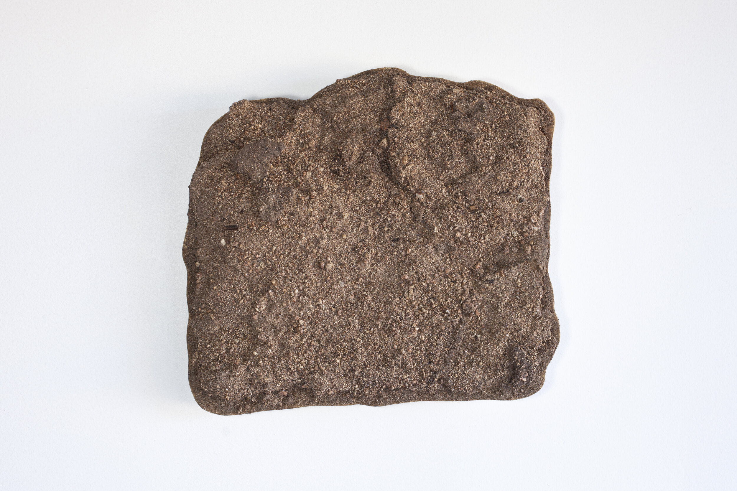
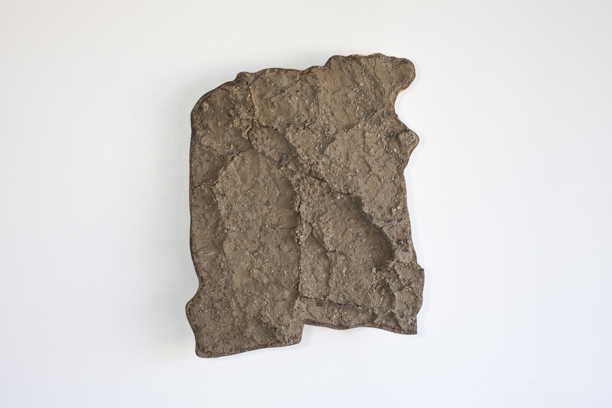
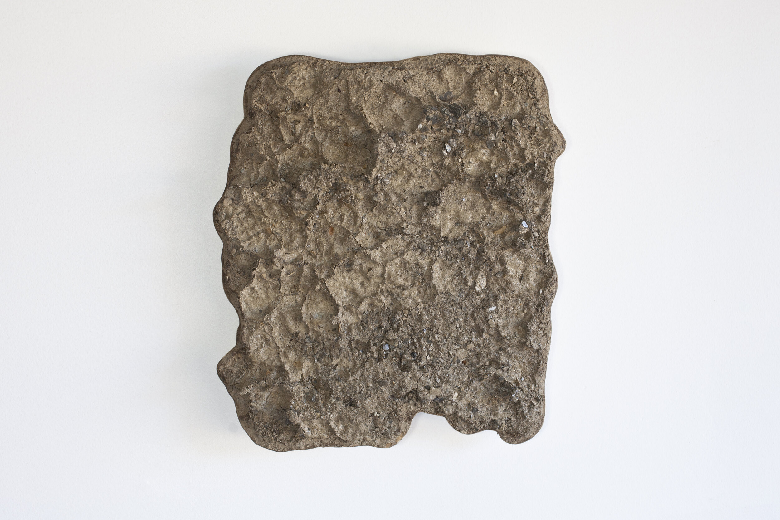
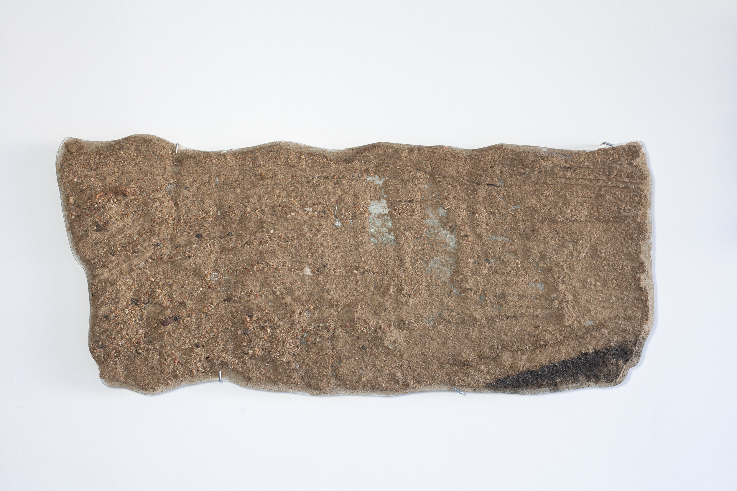
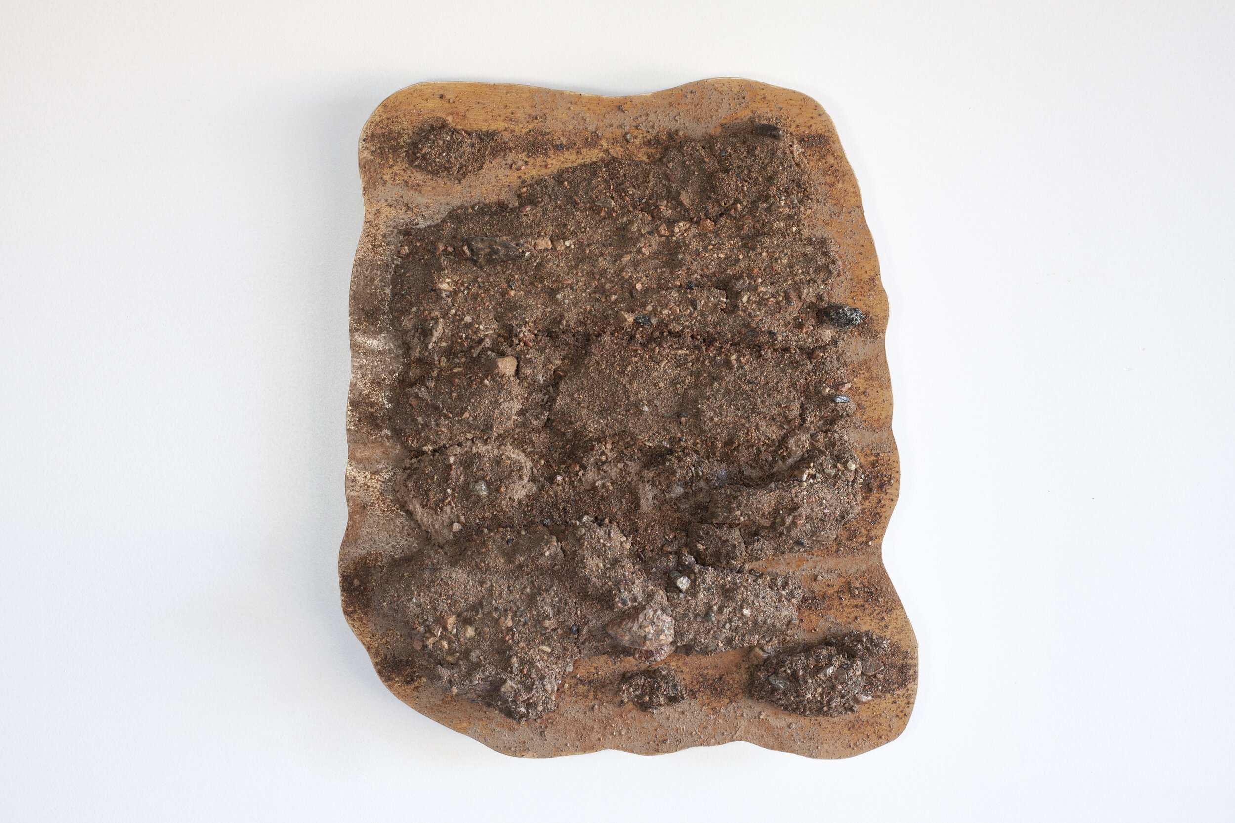
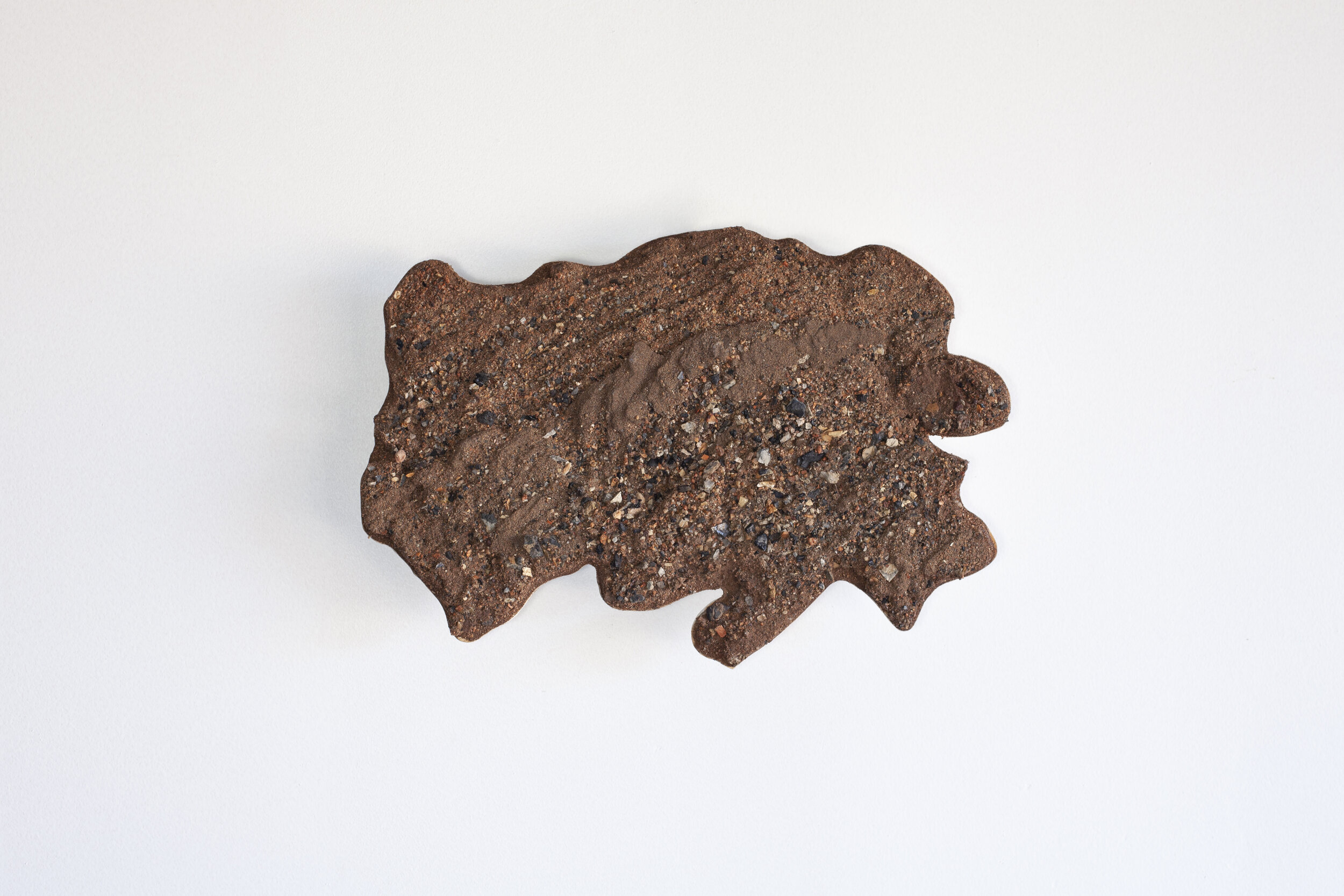
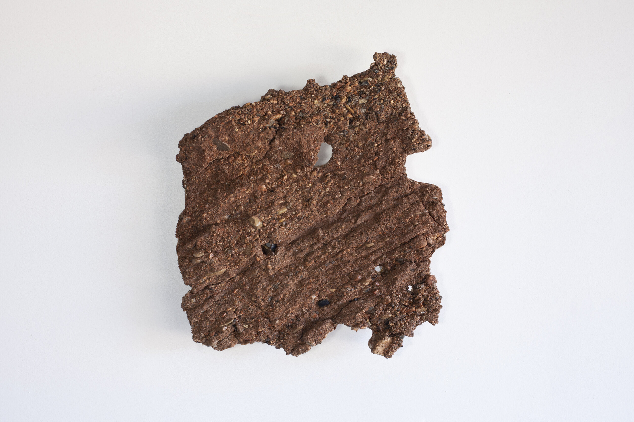
Rio Grande // Great Sand Dunes Sand Peels
Wind vs. Water
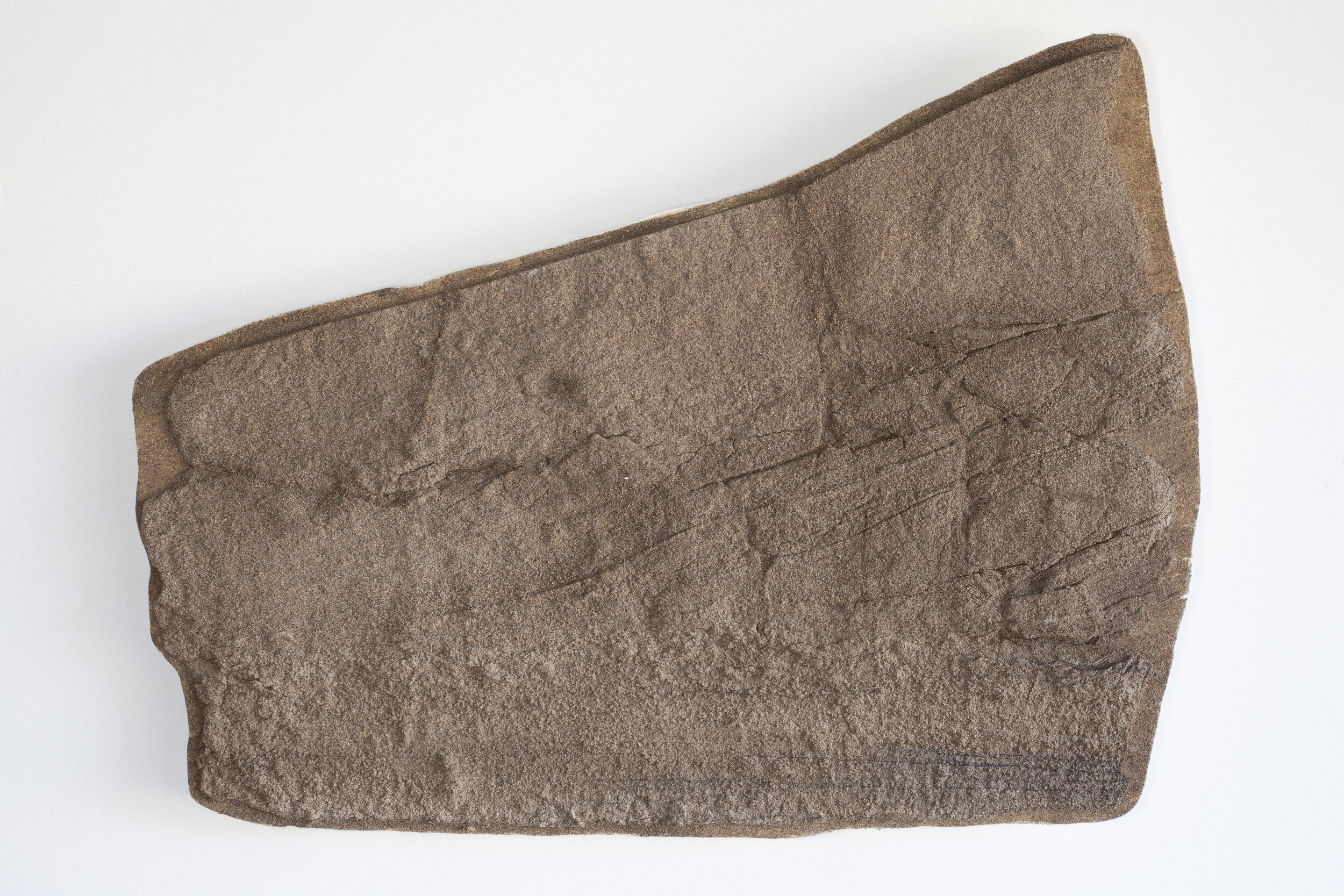
Sand Pit GSD 4; collected September 15, 2020; lat 37.761861° long -105.508799°; elevation 2495 meters
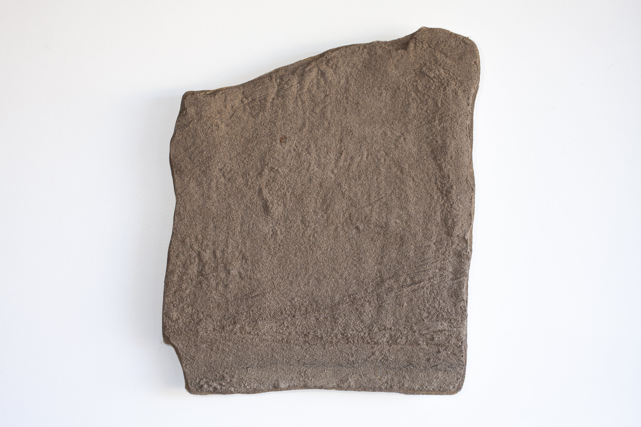
Sand Pit GSD5; collected September 16, 2020; lat 37.761861° long -105.508799°; elevation 2495 meters
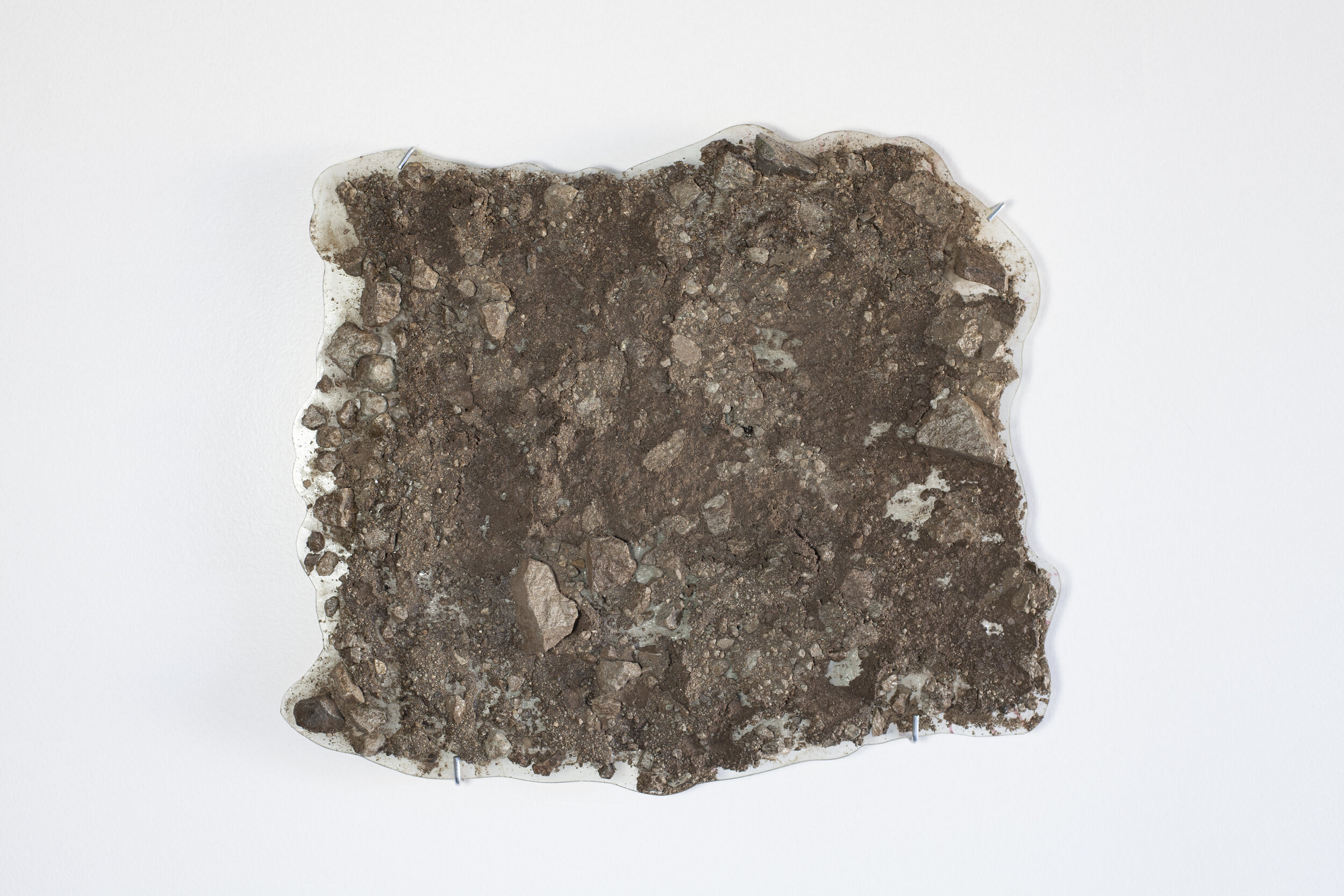
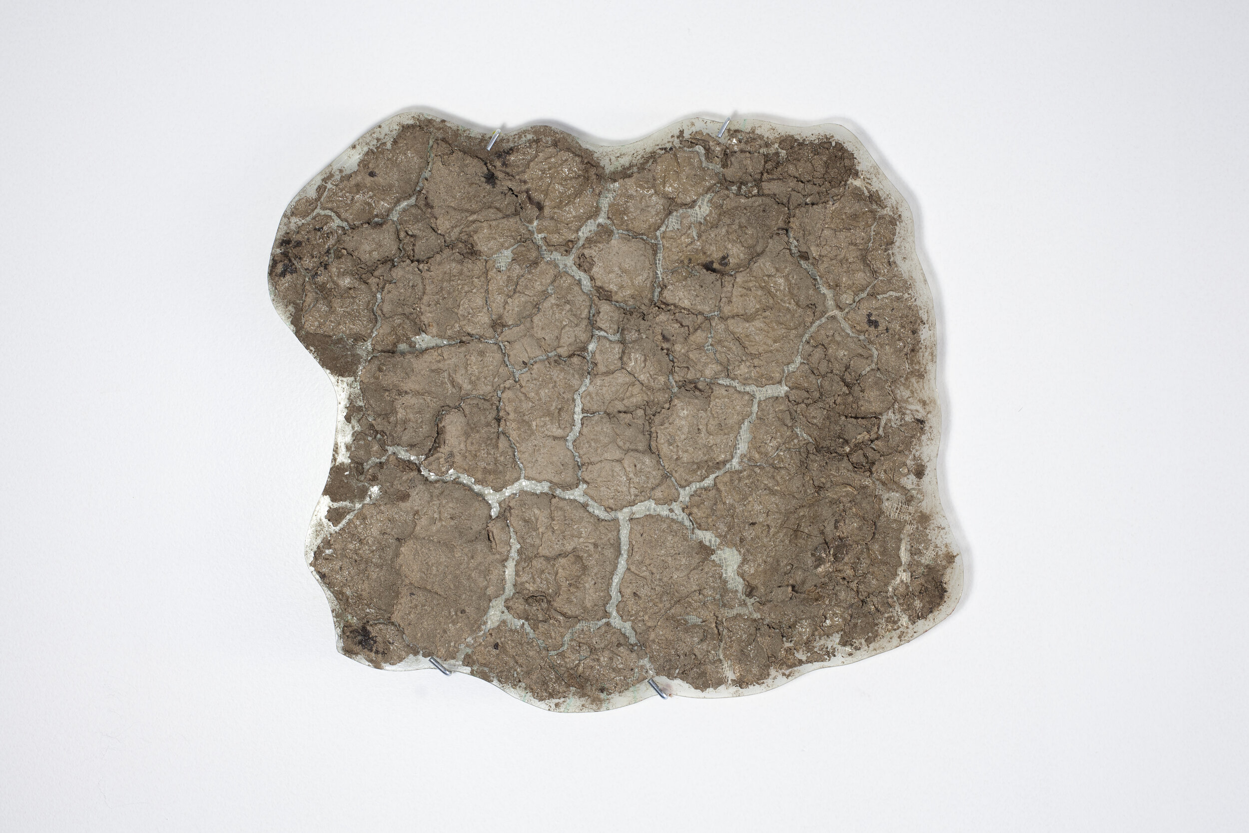
Great Sand Dunes National Park is the site of a fundamental geologic process of deposition as sand and sediment from the San Juan Mountains to the west interact with the Sangre de Cristo range to the east. A dried lake bed and winds from the west that funnel through the passes in the Sangre de Cristo range create a natural pocket for sand accumulation at this specific point. These sand peels were collected at the intersection of the dunes and Medano Creek which is the drainage from Medano Pass. These peels describe the interface of the flow of sediment by wind and the flow of sediment by water, both basic geologic processes that shape the earth and our climate.
Location
Sand Pit, eastern toe of dunes in Great Sand Dunes National Park, Colorado
Interpretation
These two peels record the interplay of the flow of sediments by water and wind. The high angle layers in the upper 3/4 of both peels are eolian dunes prograding eastward over Medano Creek. The lower portion of the peels have lower angle and small scale cross stratification formed by water flowing in the creek. Note the dark layers of flow concentrated hematite. The Medano Creek discharge chart above shows high discharge levels in the spring of 2016, 2017 and 2019. There was no high discharge in 2020. The fluvial deposits at the bottom of the peels are probably from 2019 when water was dominant. The upper portions are most likely advancement of the dunes into Medano Creek following the high discharge in spring and summer 2019.
