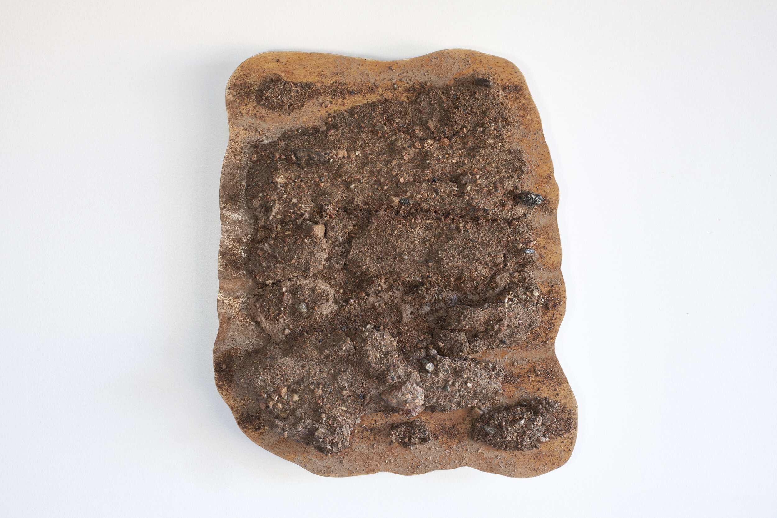
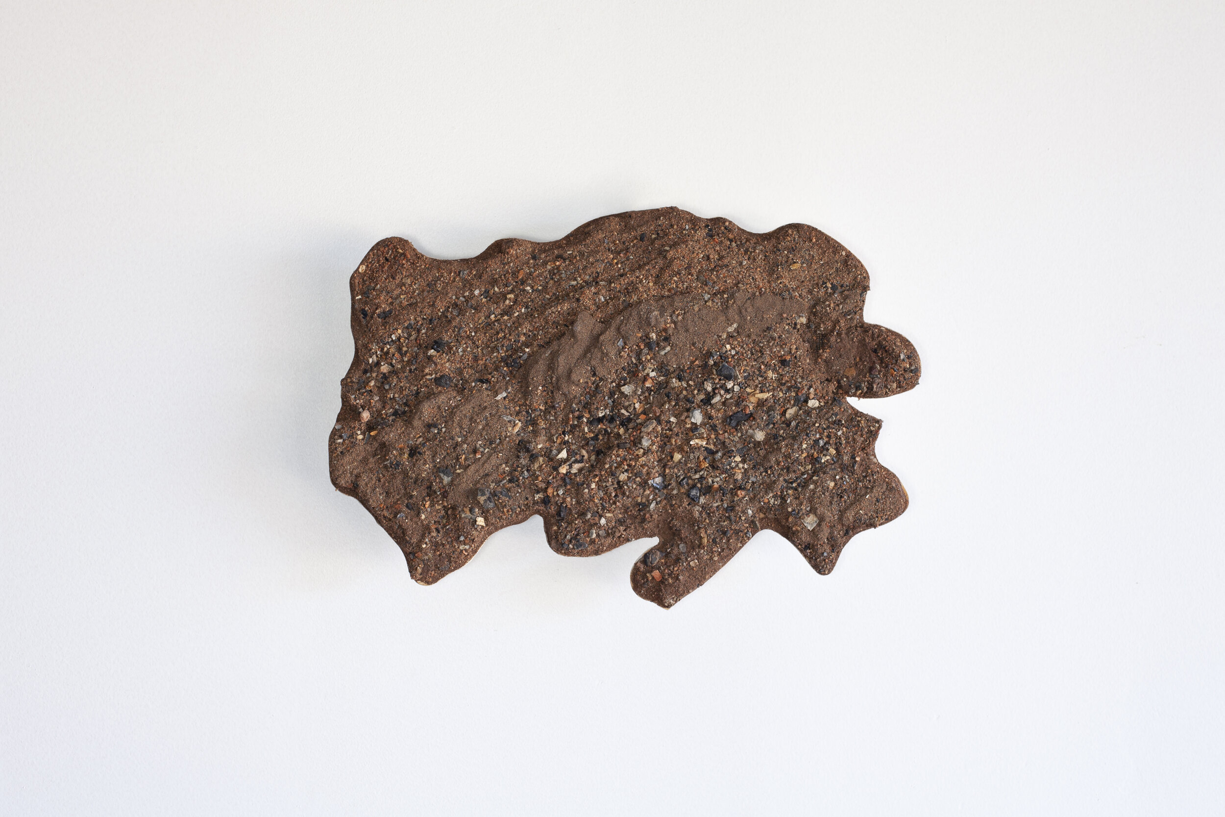
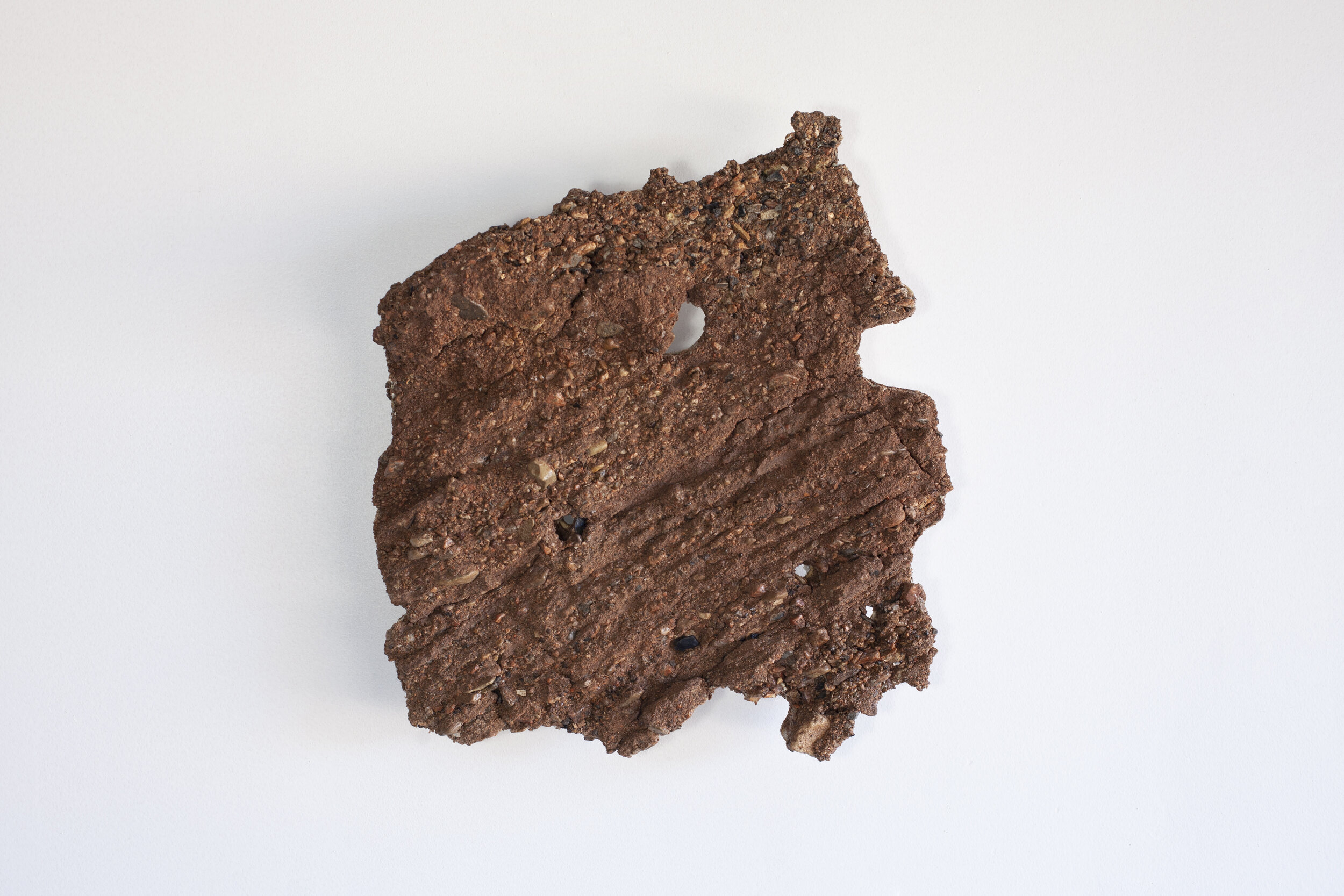
Rio Grande // Sargent Pass
Stolen Flow
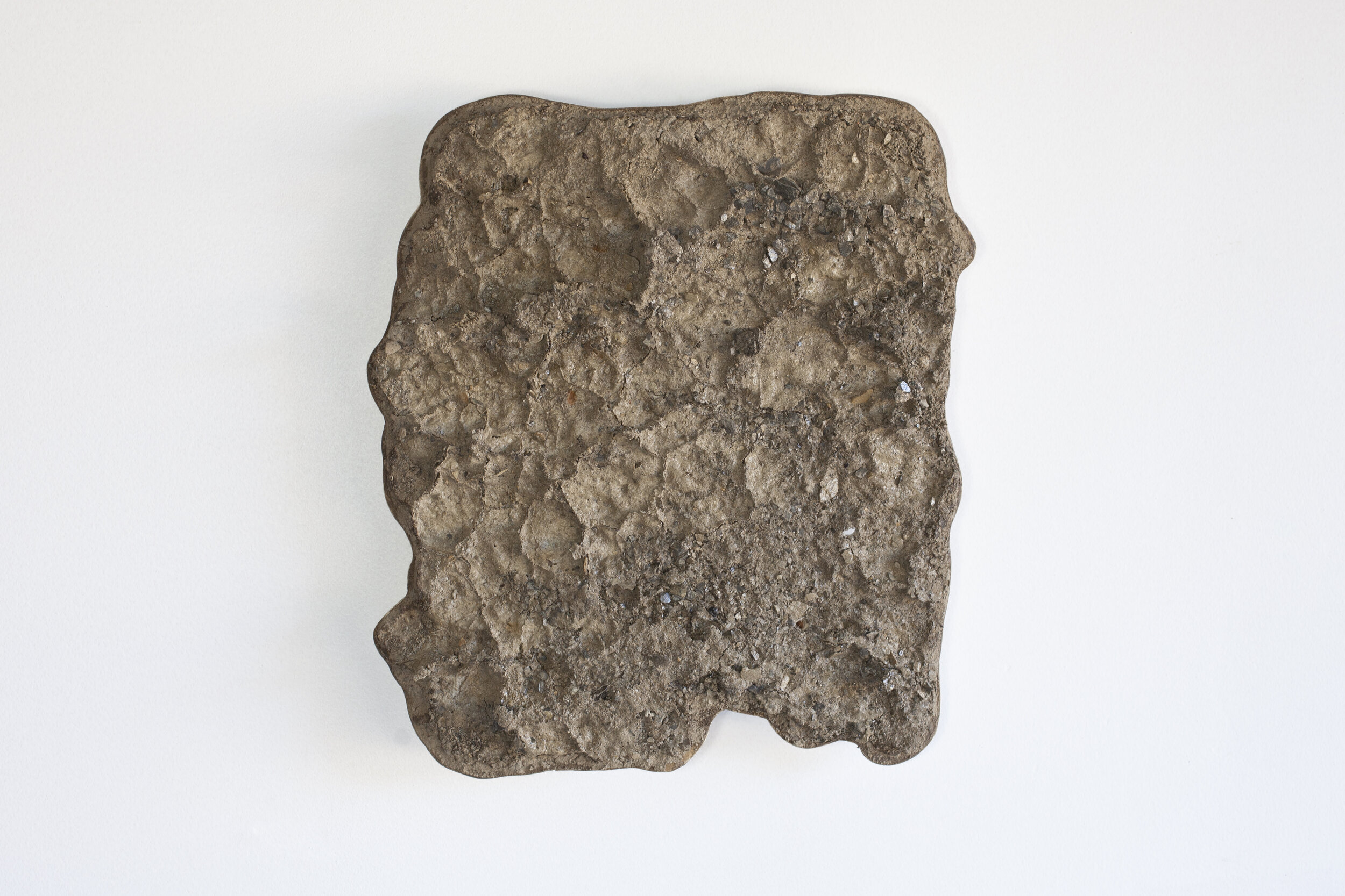
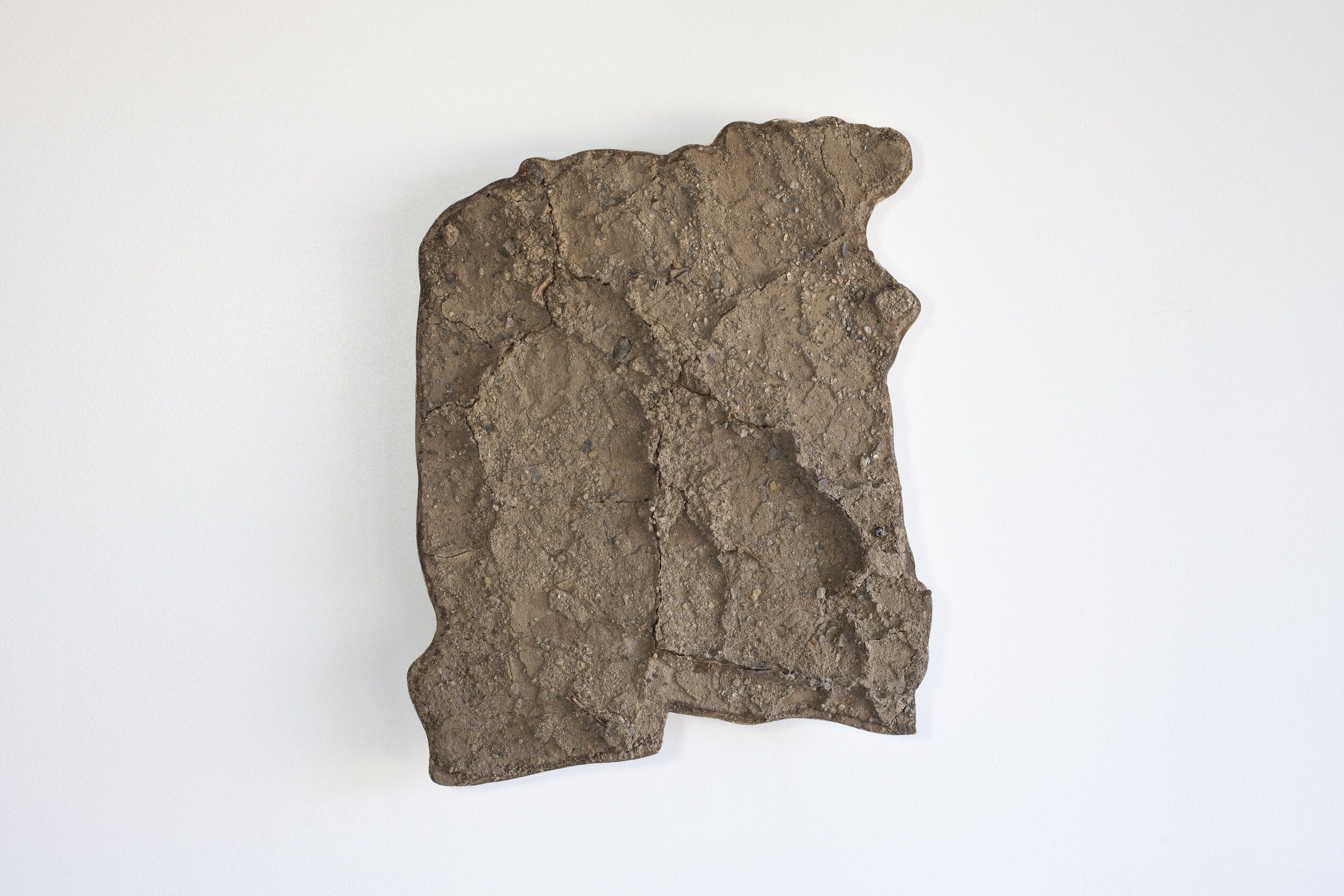
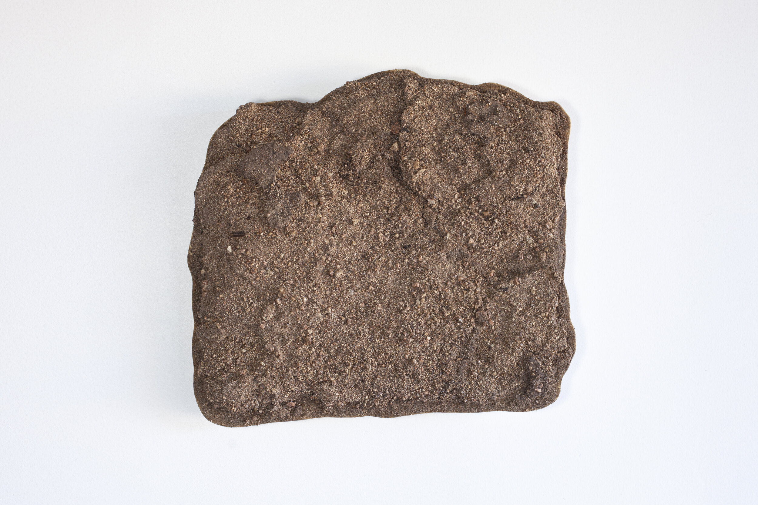
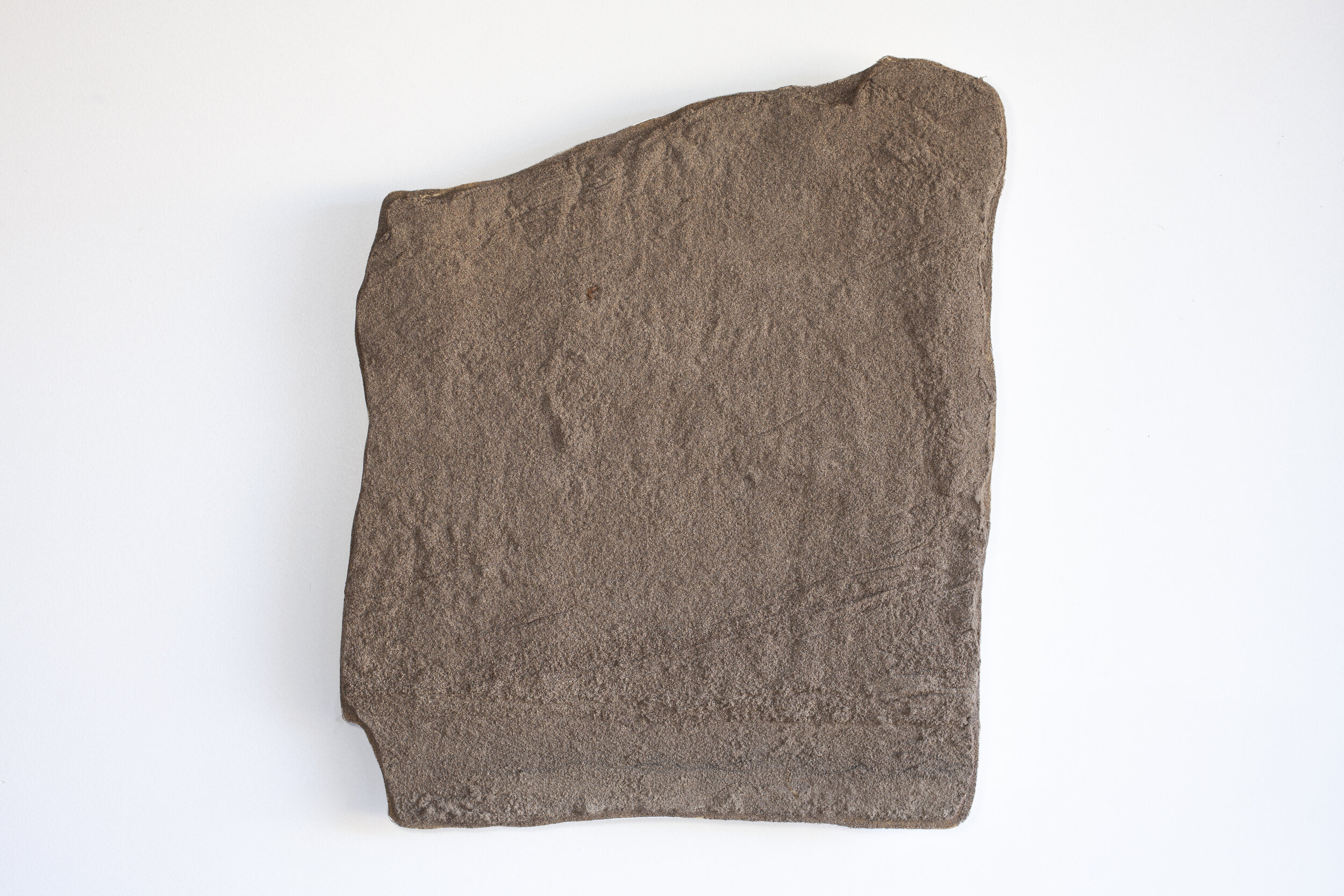
STP1; collected August 27, 2020; Lat 36.885631 Long -106.734344; elevation 2350 meters
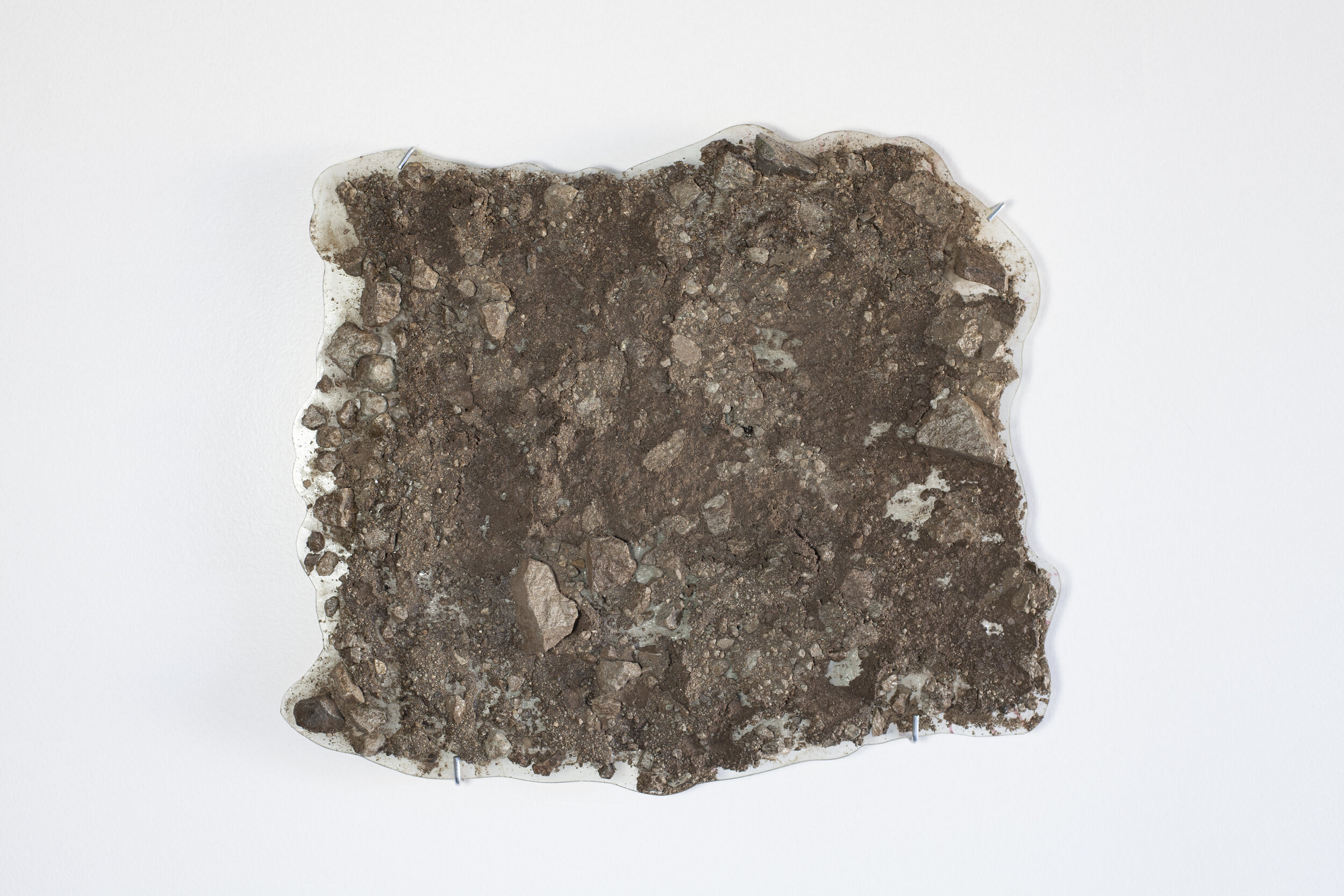
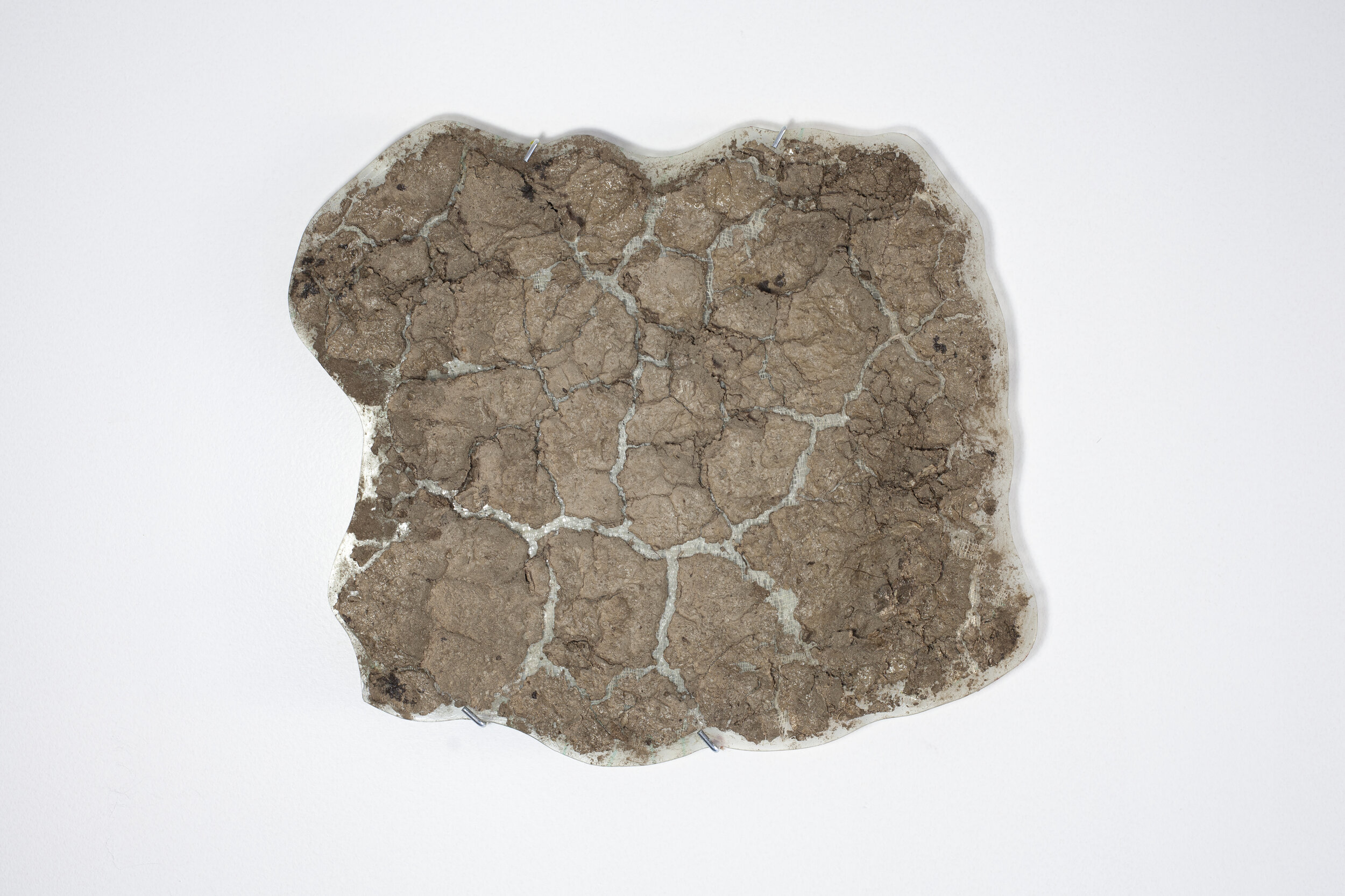
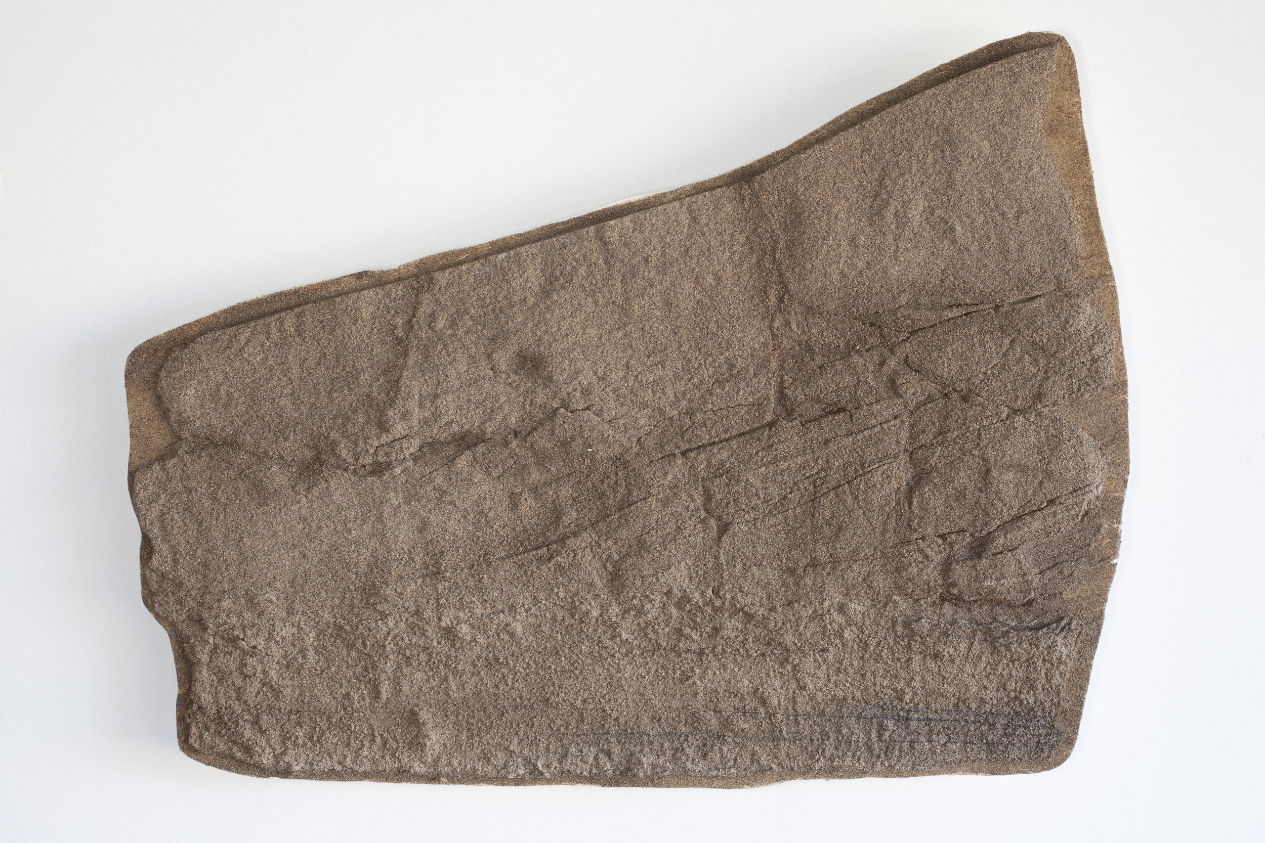
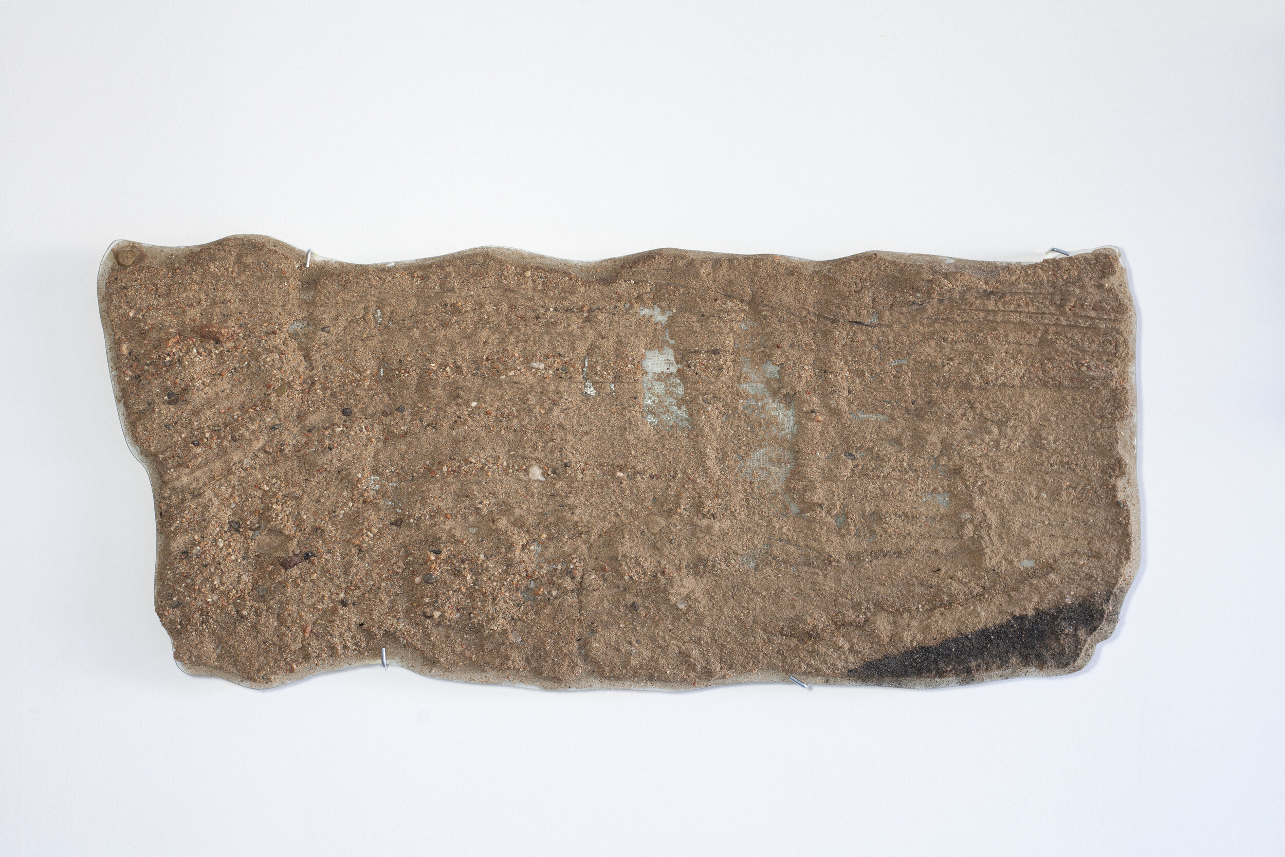
STP2; collected August 27, 2020; Lat 36.53827 Long -106.44364; elevation 2350 meters
These two sand peel sculptures are from the Continental Divide at Sargent Pass where water is diverted from the western side of the divide (Colorado River/Pacific) to the Rio Grande by way of the Chama River. The stolen flow is created by the San Juan-Chama Project, which carries water from the west side of the Continental Divide to enter Willow Creek just south of this sand peel site. The San Juan-Chama project is part of a complex geopolitical orchestration to manage water use and consumption by the many entities in the west who depend on managed water to exist, i.e., states, counties, farms, cities, and neighborhoods.
Location
Road cut at Sargent Pass along the Continental Divide 10 miles west of Chama, New Mexico
Interpretations
STP1: weathered ~ 90 million year old Mancos shale in road cut
STP2: Mancos derived mud cracks in dried up pond
