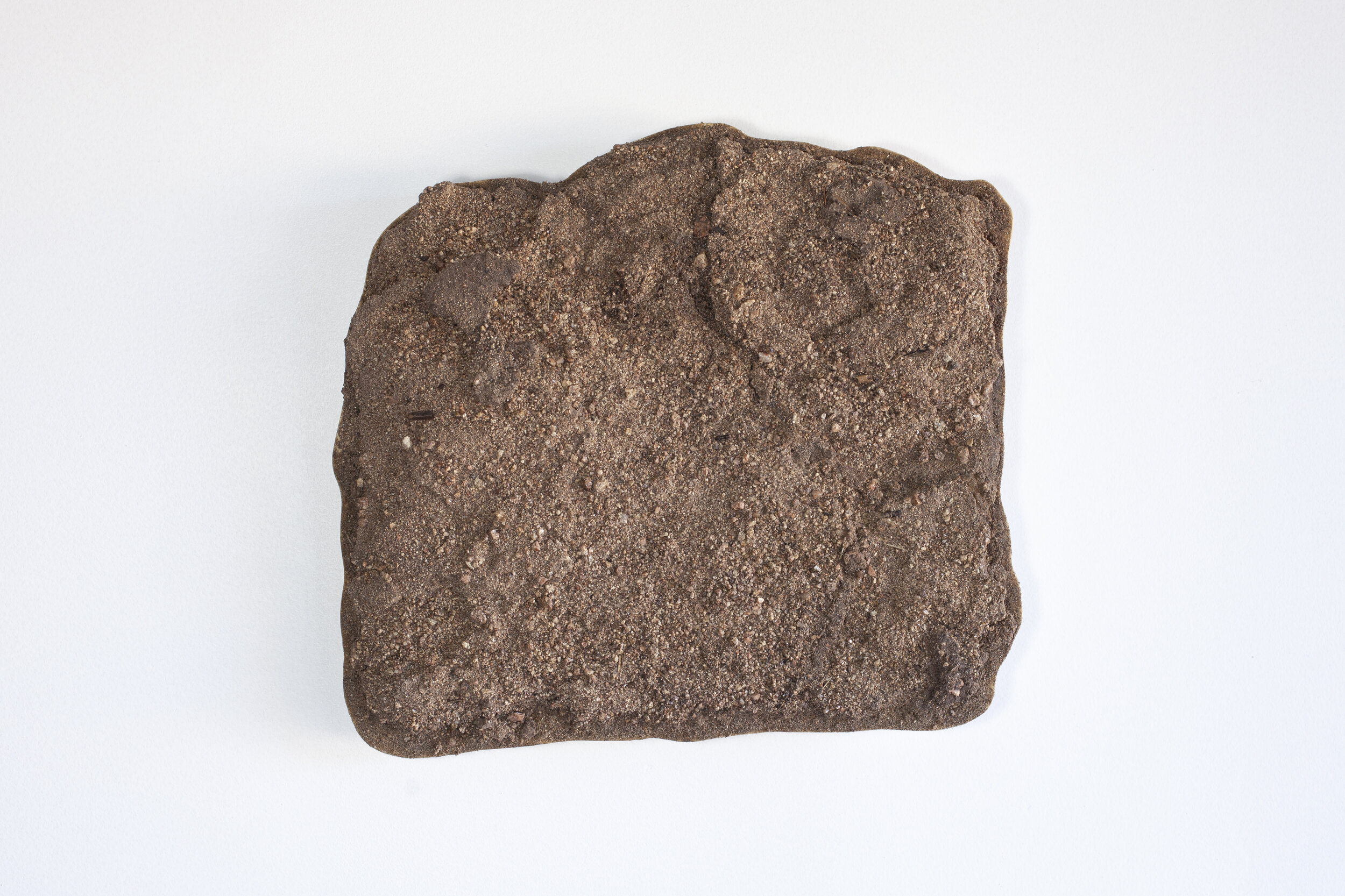
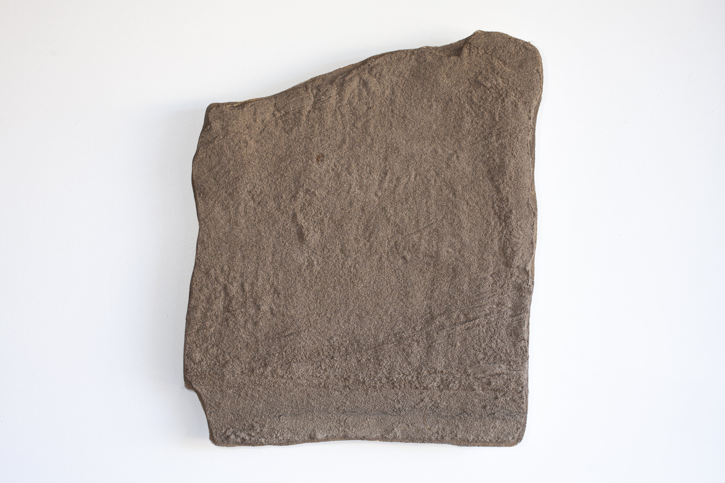
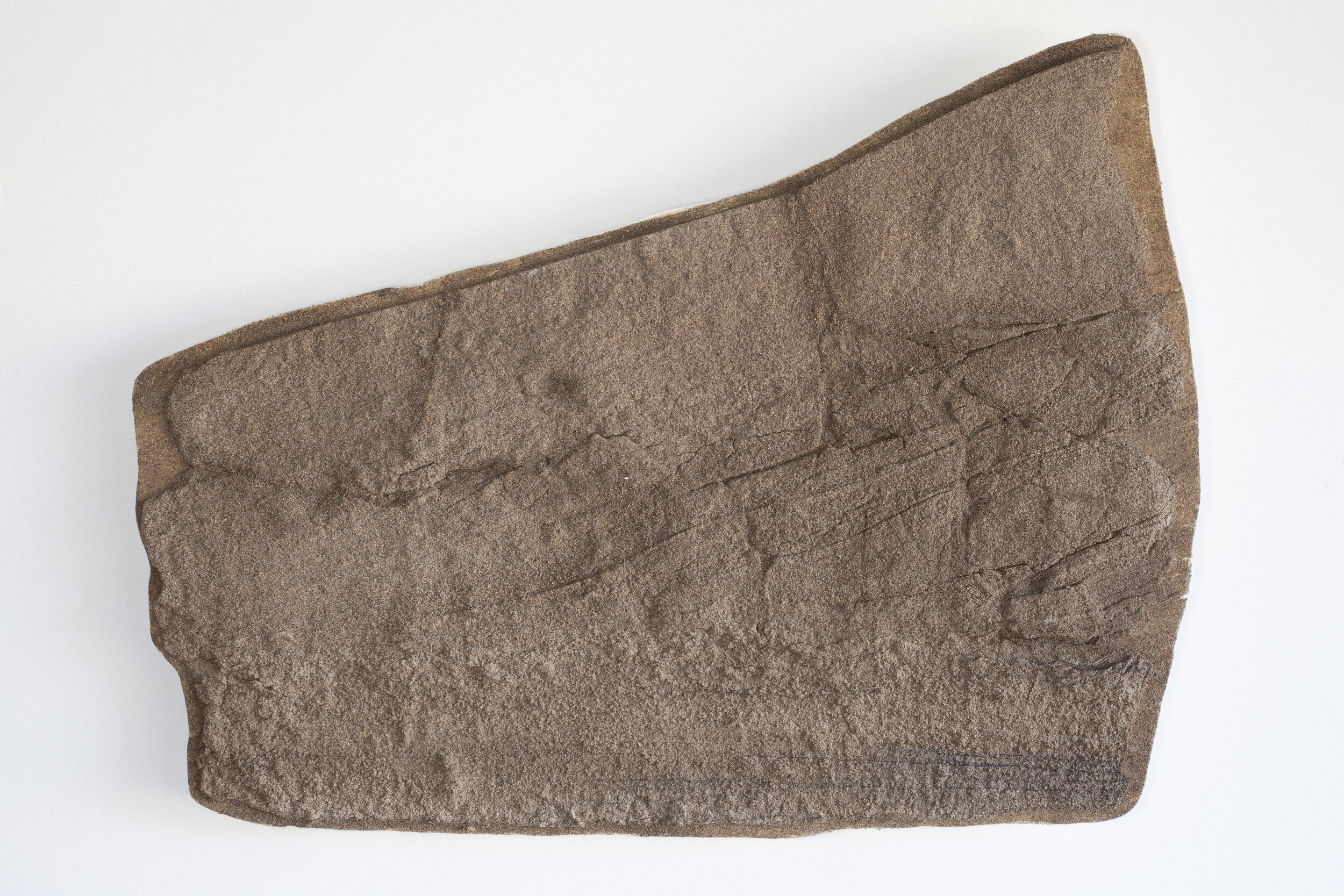
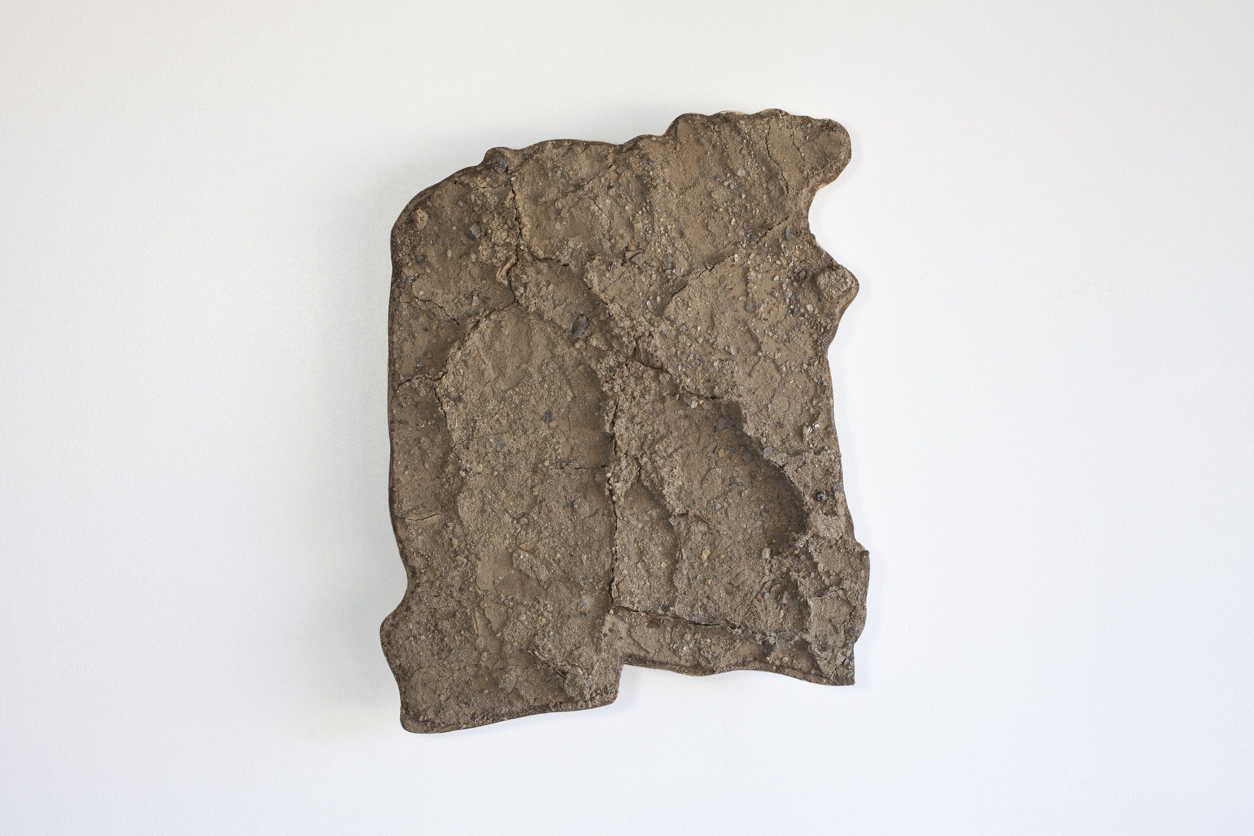
Rio Grande // Lamy Sand Peels
Flow of People
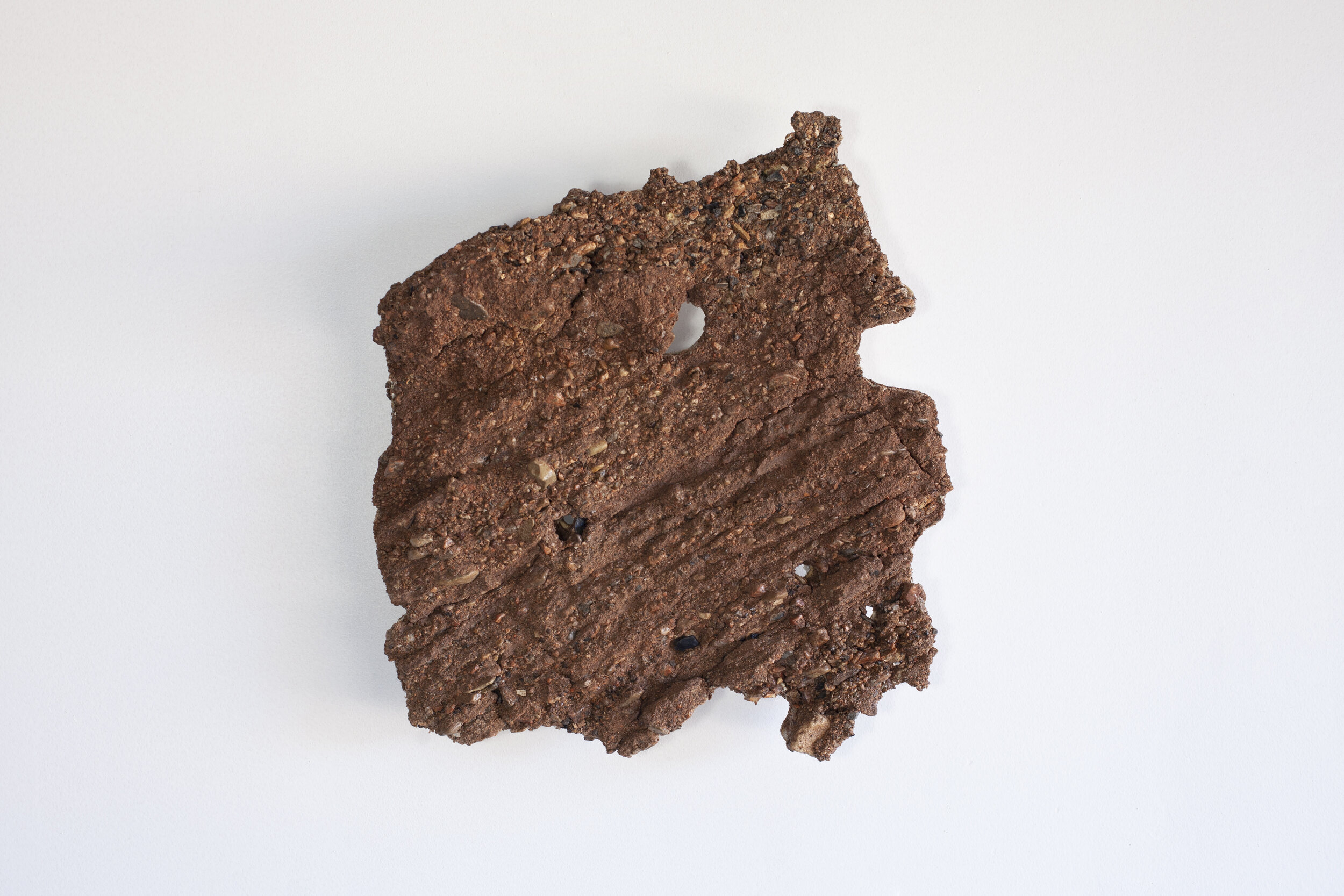
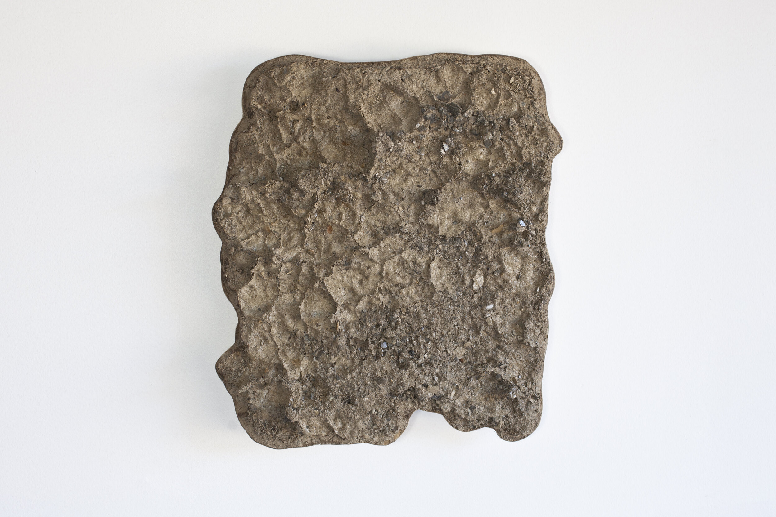
LM1: Vertical; collected August 29, 2019; lat 35.481710°, long -105.877188°; elevation 1970 meters
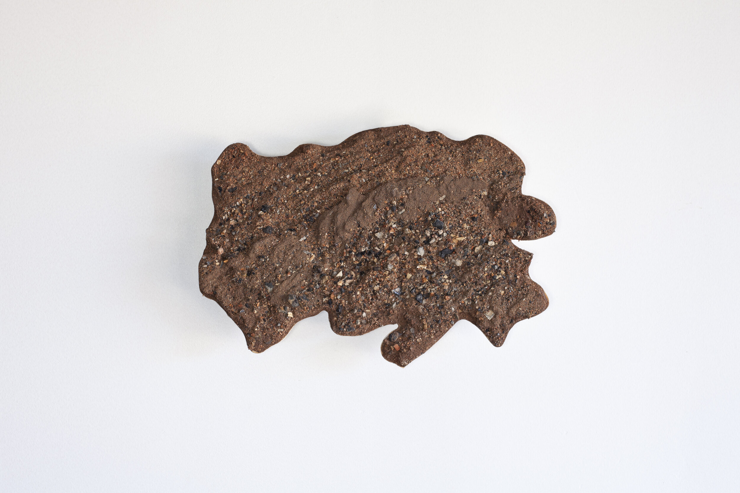
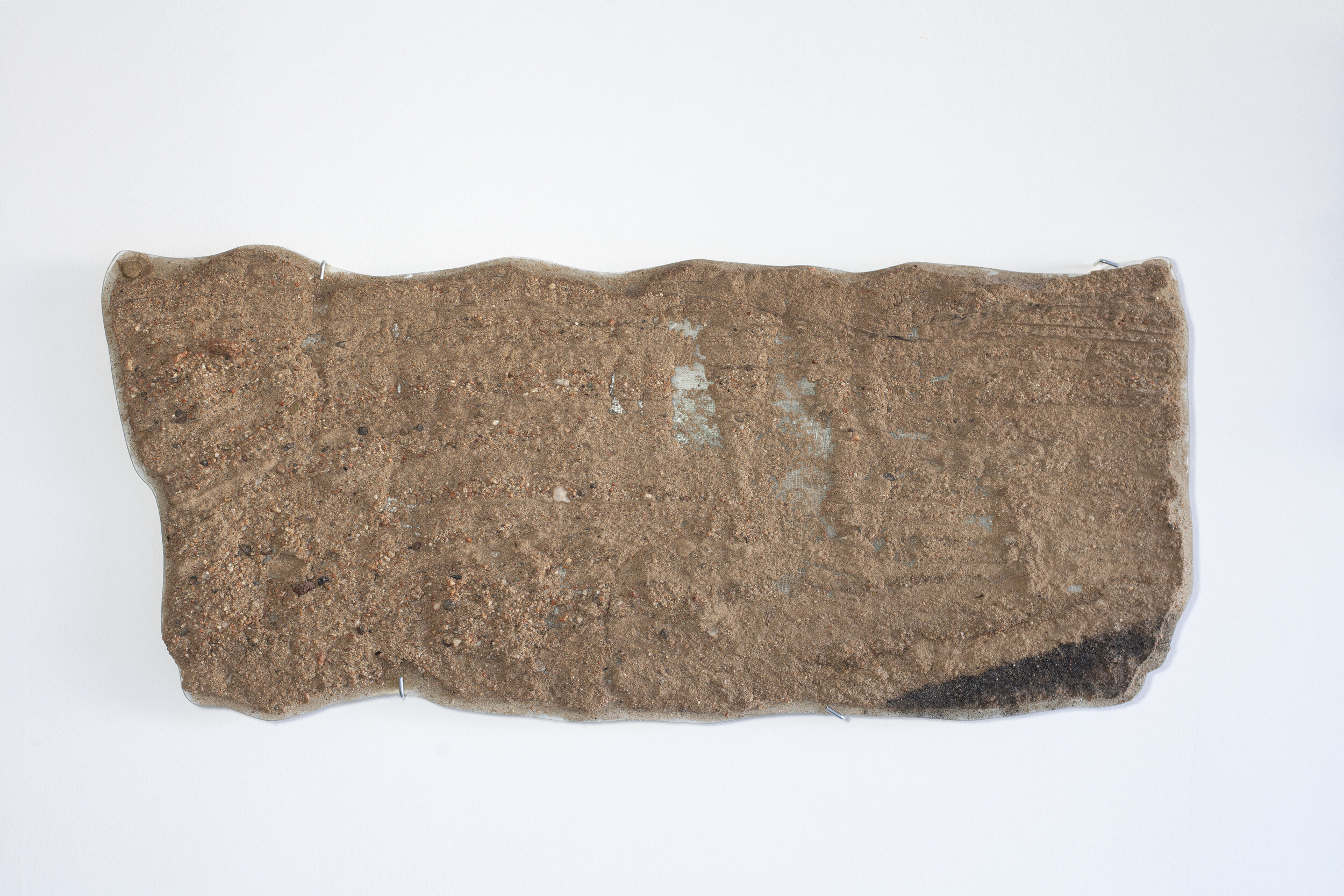
LM3a: Horizontal; collected August 29, 2019; lat 35.481710°, long -105.877188°; elevation 1970 meters
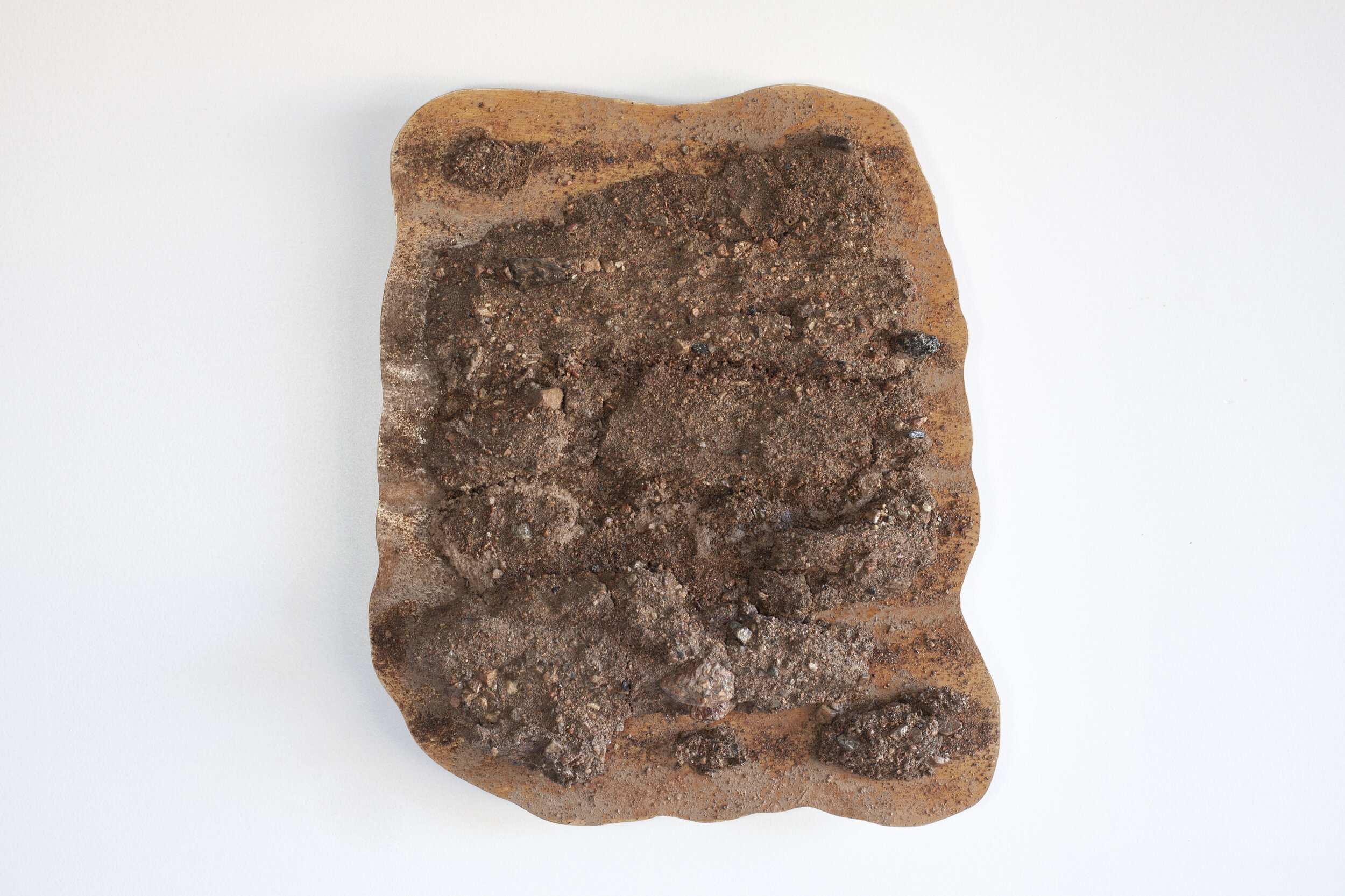
The Lamy sand peel sculptures are collected within the Galisteo Basin and embody the flow of people and ideas in this area of the world for centuries. Because of its location lying between mountain ranges and connecting the Rio Grande Valley with the Great Plains, the Galisteo Basin was used as a trade route by prehistoric and historic indigenous people and later also by the Spanish explorers. The controversial conquistador Juan de Oñate followed Galisteo Creek up through Galisteo Pass in 1590; the Santa Fe trail connected Santa Fe with St Louis through the same pass in 1792; the Mexican Army used the route in 1847 and the Confederate army in 1864; and the railroad arrived in 1880, eventually connecting Chicago with Los Angeles. Despite the name, the Atchison, Topeka, & Santa Fe Railroad did not go to Santa Fe. The grade was too steep so the tracks were laid through the Galisteo Basin where passengers to Santa Fe disembarked at the Lamy Train Station and took a coach, car or later a train to Santa Fe. The train brought both settlers (Georgia O’Keefe first came to New Mexico as a teenager when her train was diverted through Lamy in 1916) and industry (any scientist who came to Los Alamos to create the atomic bomb came through Lamy in 1945) west.
Location
Intermittent stream/arroyo at the Lamy Train Station. Part of Galisteo Creek, a seasonally intermittent river which starts in the Sangre de Cristo Mountains, creates Galisteo Pass and drains into the Rio Grande.
Interpretations
LM1: Vertical peel displays a poorly sorted bar in Galisteo Creek/arroyo draining from Galisteo Pass. Possibly two fining-upwards flooding events. The black clasts are coal from the nearby railroad.
LM3a: Horizontal peel near the top of LM1 Vertical peel. The finer layering at the top of the peel are foreset beds of a bed-form migrating down stream. Flow was to the top of the peel. This is possibly the record of waning flow as the second flood event passed in the spring of 2019. The black clasts are coal from the nearby railroad station .
