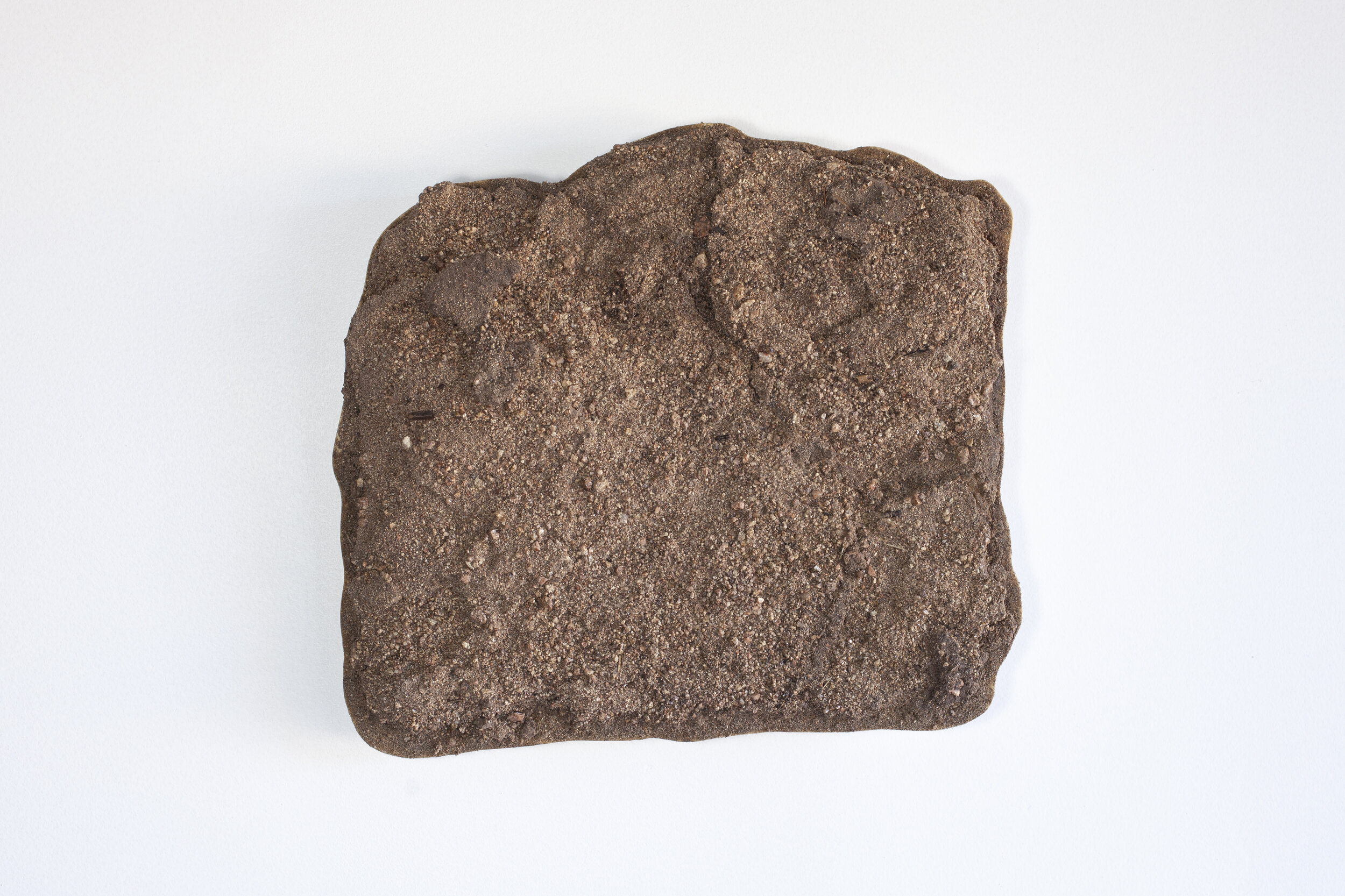
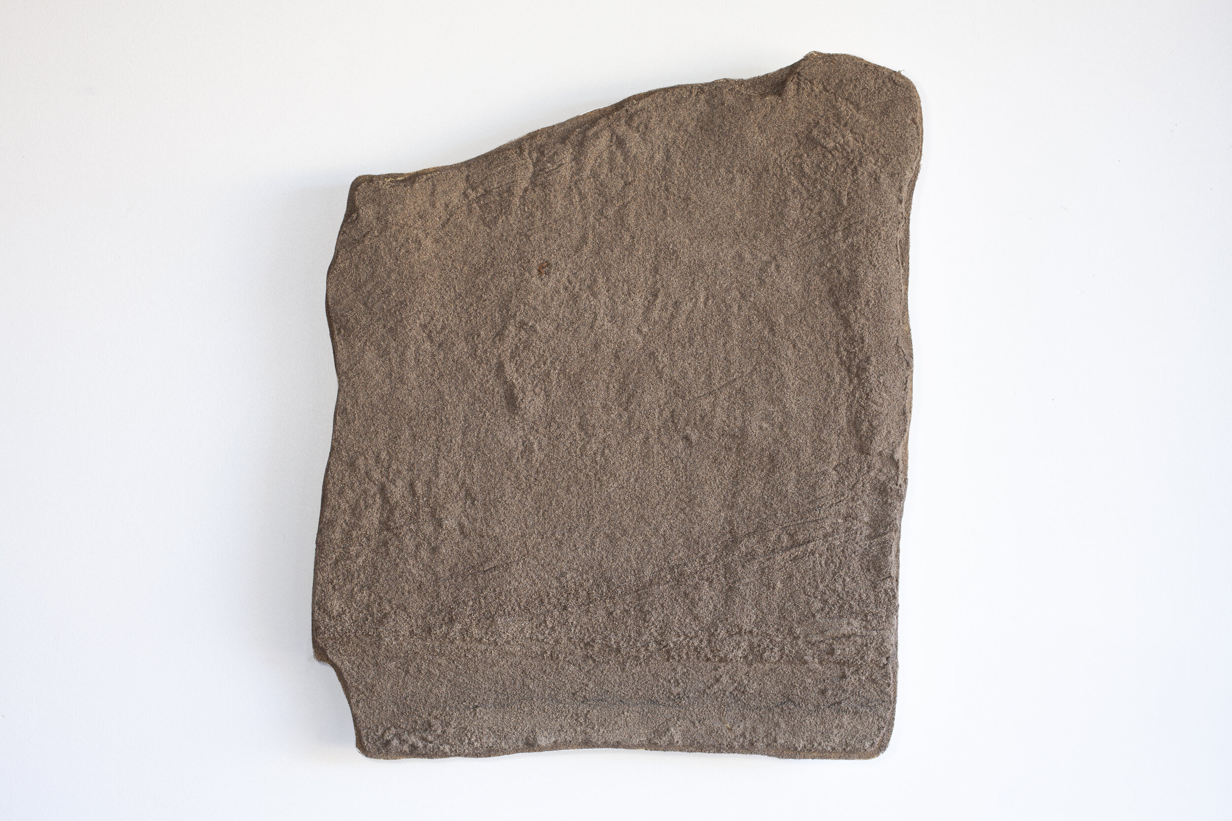
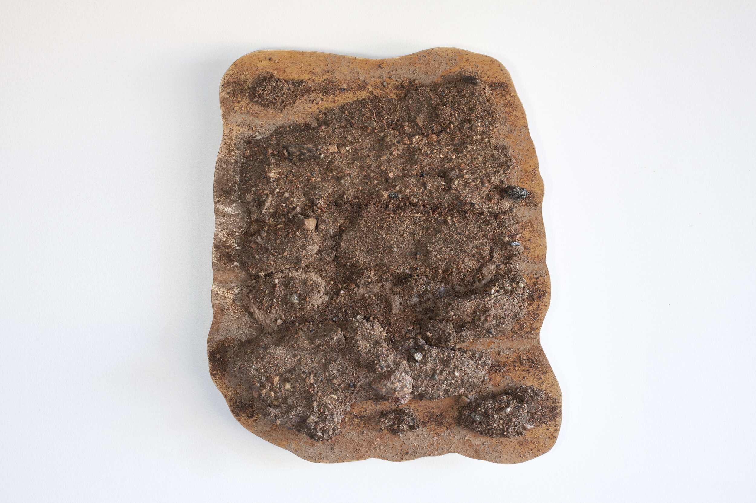
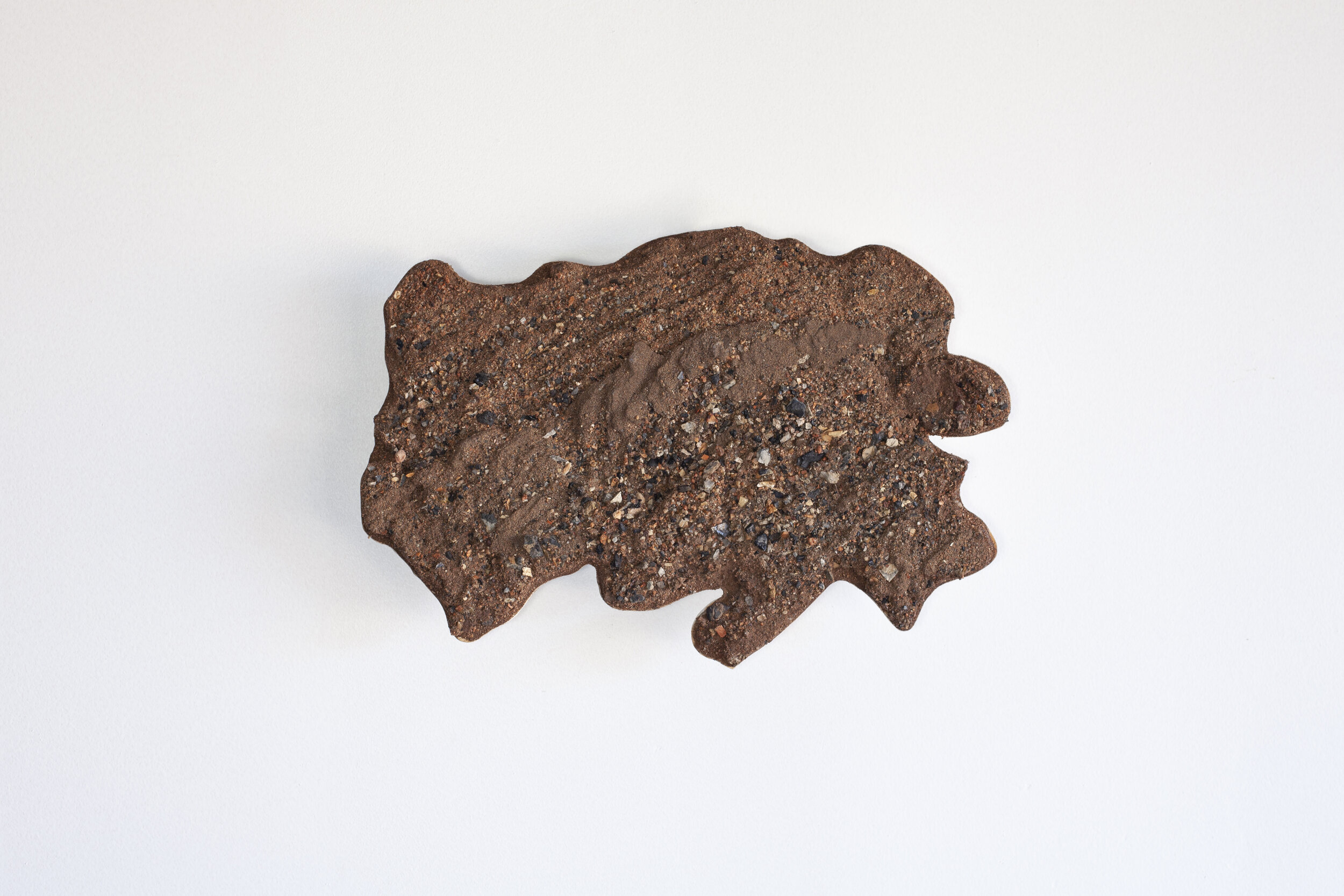
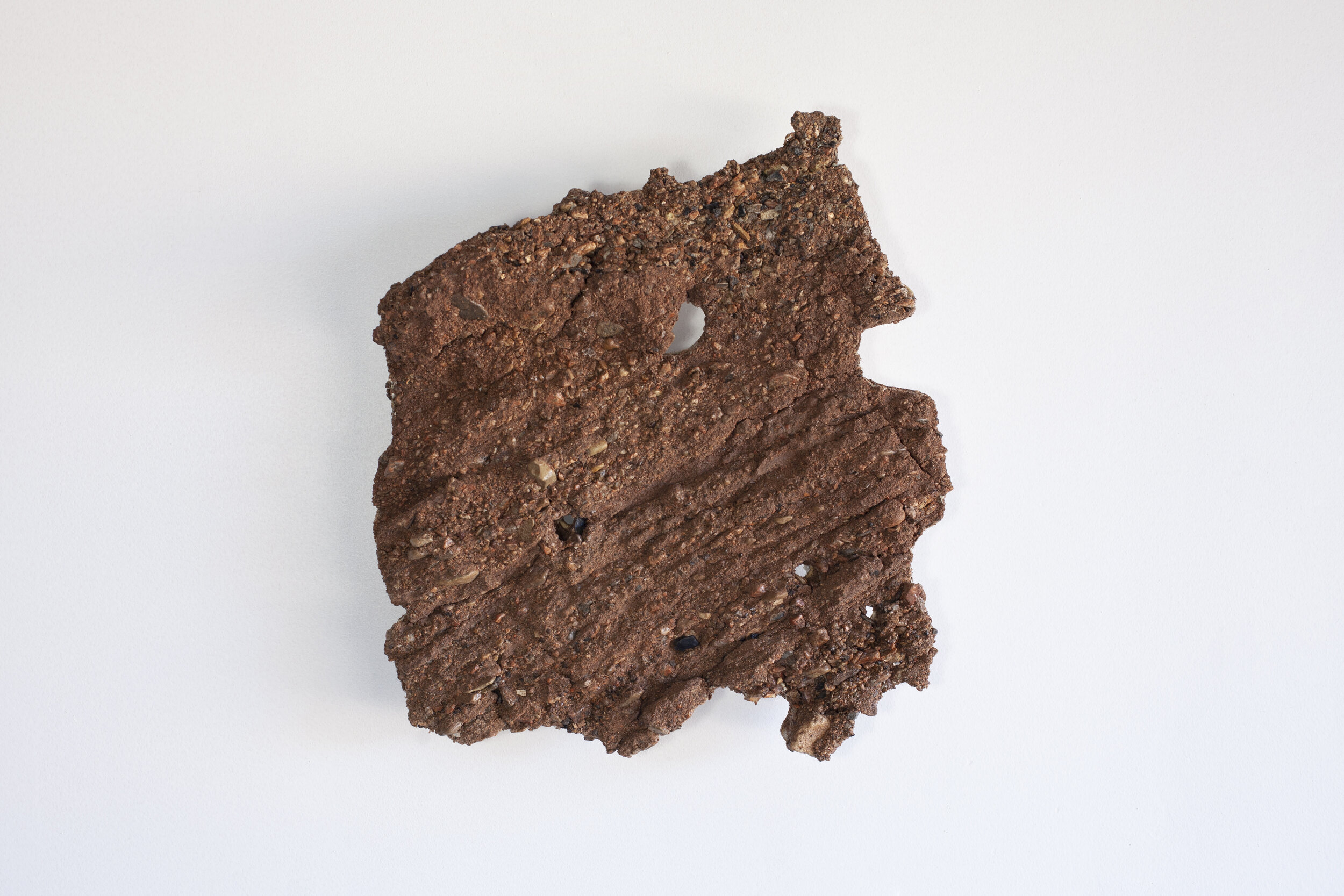
Rio Grande // Stony Pass
The Headwaters / Western Divide
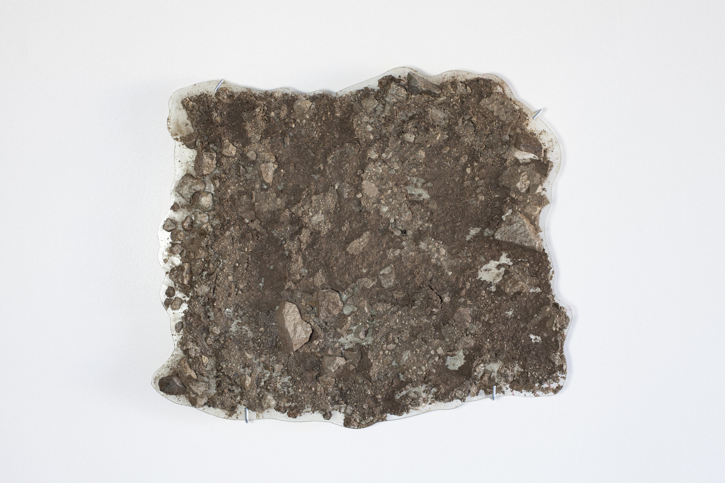
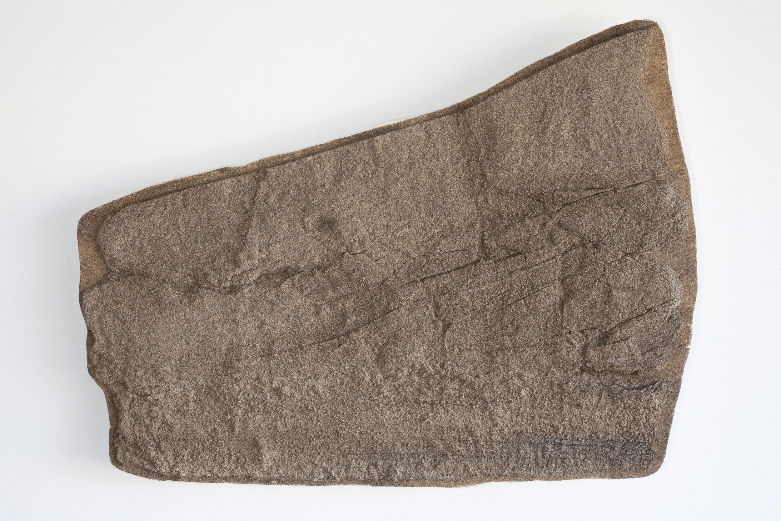
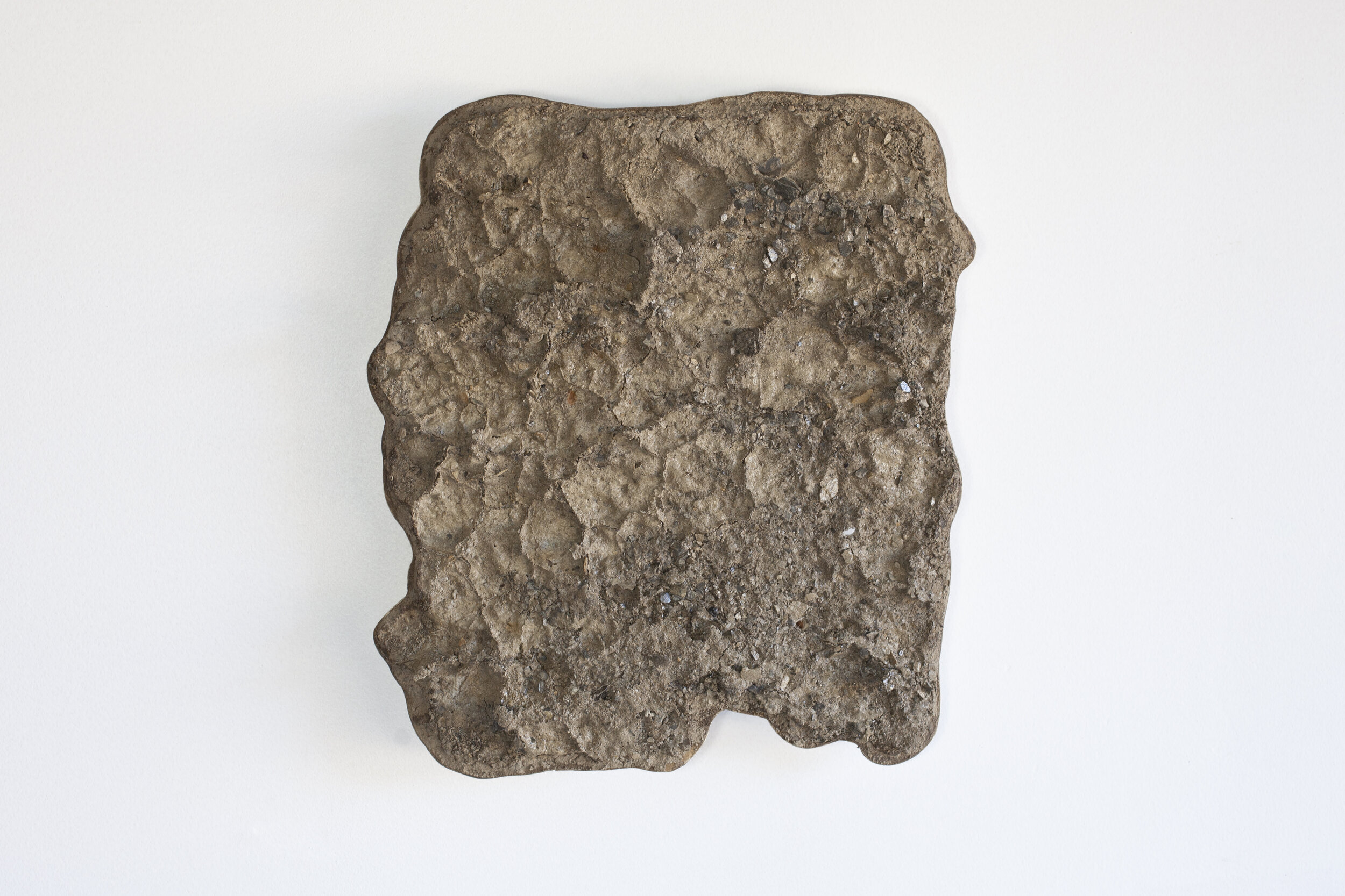
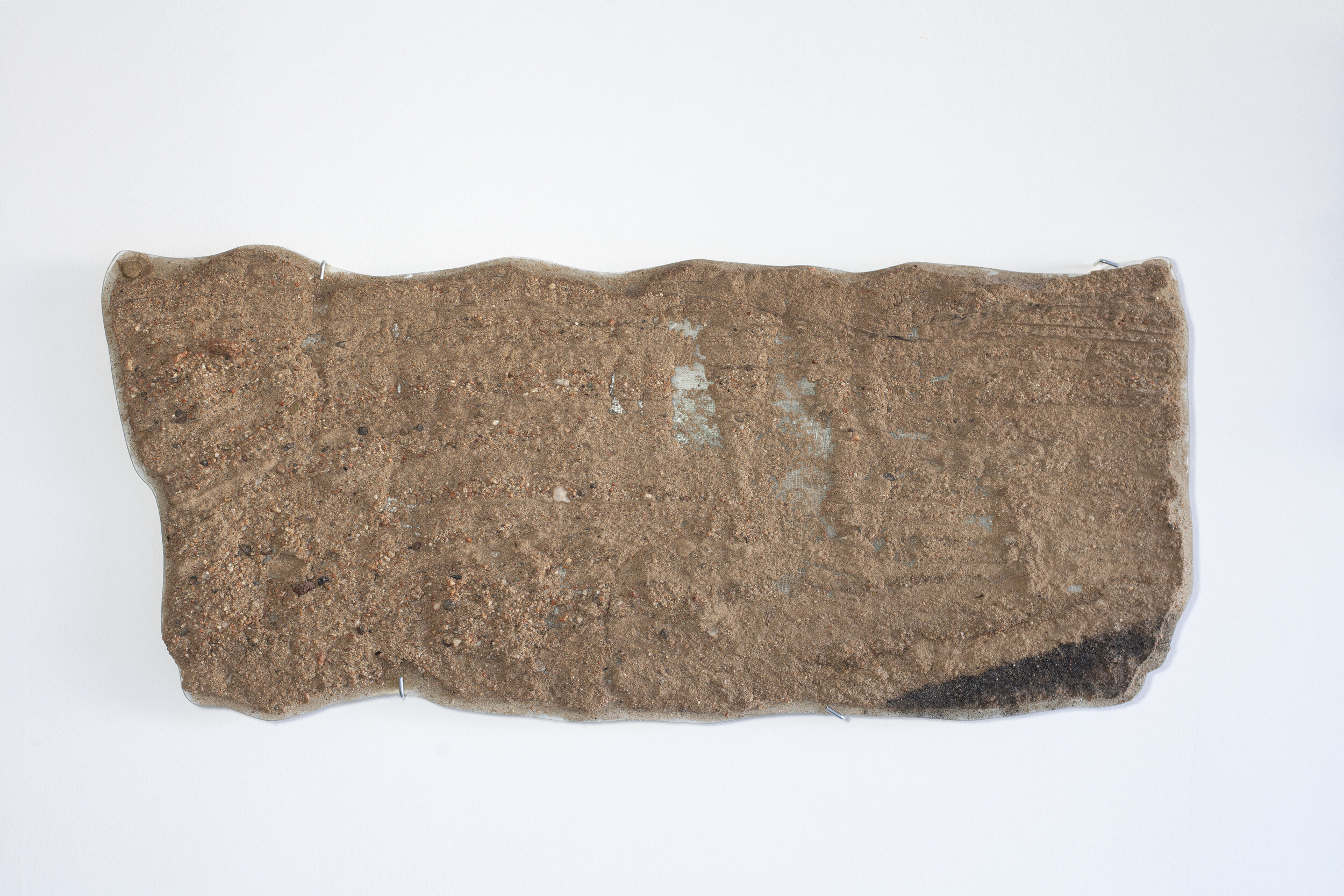
Whole rocks and gravel SP1; collected September 7, 2020; Lat 37.794731 Long -107.547277; elevation 3841 meters
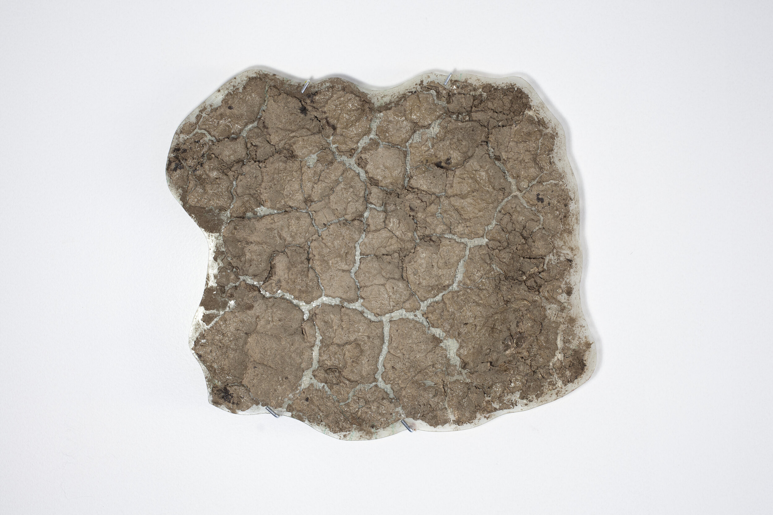
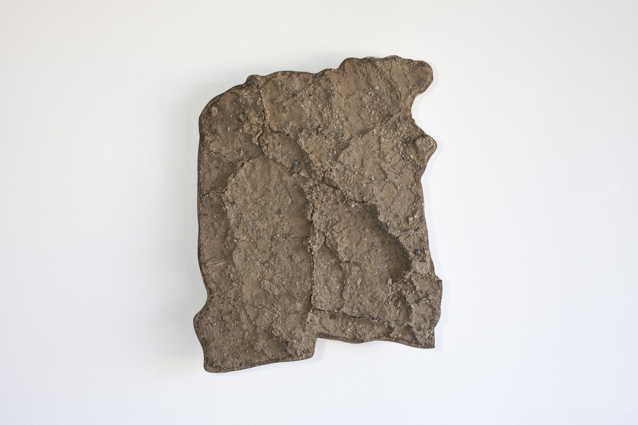
Mud empty and cracks SP2; collected September 7, 2020; Lat 36.8856436 Long --106.7334728; elevation 2351 meters
Stony Pass is the western limit of the Rio Grande basin, where water flows east to the Rio Grande and west to the Colorado River.
The pass is also the route of the mule trains that brought miners, silver and gold to and from Silverton, Colorado during the early mining days in the late 19th century.
Location
The top of Stony Pass, the headwaters of the Rio Grande
Interpretations
SP1: weathered ~ 30 million year old San Juan Group volcanics
SP2: mud cracks from weathered ~ 30 million year old San Juan Group volcanics
