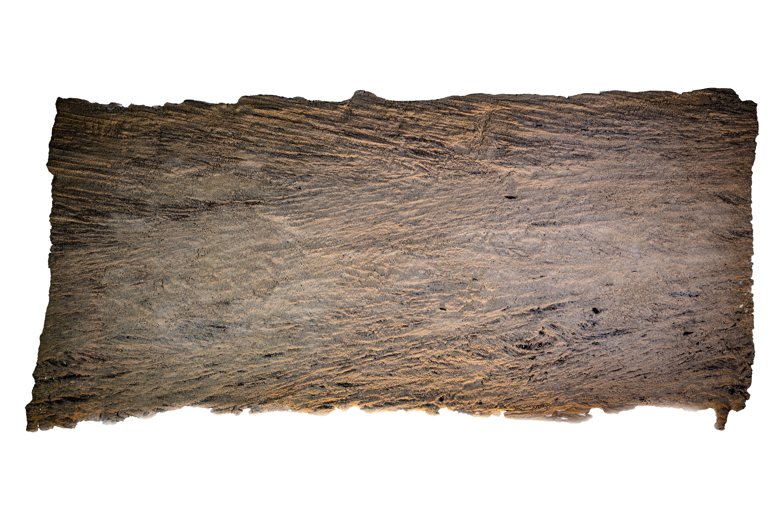
Hurricane Harvey // Sand Peel Sculpture B
Plate 3A. Sand Peel Sculpture B
Context, Description, and Interpretation:
Peel B records deposition of sands during the middle adjustment phase as the energy levels drop. The hydrologic archive shows the water level dropping at a decreasing rate. During this time the human impact recorded by 211 calls was for immediate needs like food and shelter.
Summary: The entire peel is within the lower flow regime. The predominant sedimentary structures are trough cross stratification formed by dunes, with some ripples within the dunes.
Low angle, large scale trough cross stratification from dunes appear throughout Peel B. Within the troughs of these dunes, smaller scale cross trough stratification from ripples occurs. Ripples and organic material in the troughs indicate locally lower flow energy and velocity. There is a slight increase in energy of the system over time demonstrated by less prominent ripples at the top of the peel. Note: the maximum flood erosional surface is ~0.4 m below the peel. The red arrows indicate the easterly flow direction.
Event Timing
Middle adjustment phase
September 2-8, 2017: During this time period, the flow conditions were generally in the lower flow regime. The presence of both ripples and dunes indicates fluctuating energy and velocity of the flow. Flow was to the east.

